
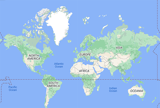
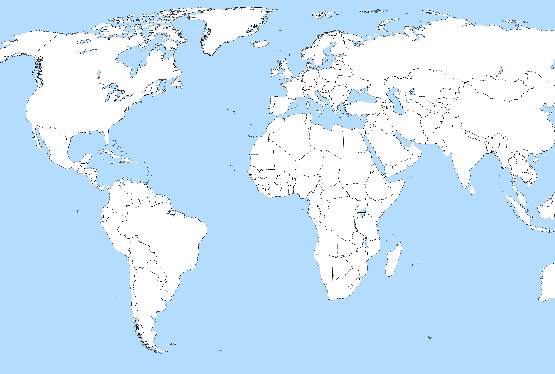
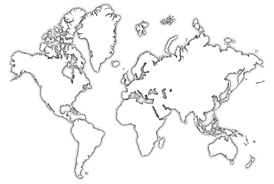
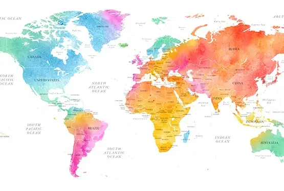
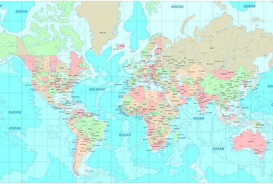
High Resolution World Map

Download High Resolution World Map (pdf)
World Maps
| World Facts | World Flags | |
| World Facts | World Flags | |

| World Facts | World Flags | |
| World Facts | World Flags | |

| World Facts | World Flags | |
| World Facts | World Flags | |
| 0 | A | B | C | D | E |
| F | G | H | I | J | K |
| L | M | N | O | P | Q |
| R | S | T | U | V | W |
| X | Y | Z | # | ||
World Map with High Resolution
A high resolution world map is a map that offers a detailed and precise depiction of the earth's surface, including landforms, oceans, and political boundaries. It is an important tool for a wide range of applications, including scientific research, navigation, urban planning, and environmental conservation. In this article, we will explore the importance of a high resolution world map and its various benefits.
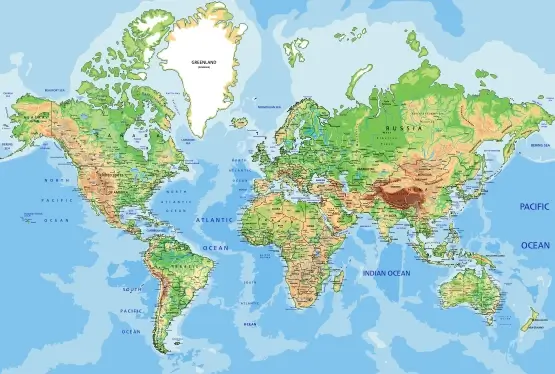
One of the most significant benefits of a high resolution world map is its value for scientific research. For example, geographers and geologists can use a high resolution world map to study the earth's crust, landforms, and natural resources. Biologists and ecologists can use a high resolution world map to analyze the distribution of plant and animal species and to identify areas of high biodiversity. Climate scientists can use a high resolution world map to study the earth's climate patterns and to monitor changes in temperature and precipitation.
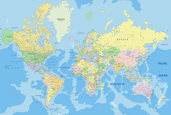
A high resolution world map is also an important tool for navigation and transportation. For example, pilots and sailors can use a high resolution world map to plan their routes, identify potential hazards, and navigate unfamiliar territories. Transportation planners can use a high resolution world map to analyze traffic patterns, identify congestion points, and plan new roads and transportation infrastructure.
In addition to its value for research and transportation, a high resolution world map is an essential tool for urban planning and management. City planners and architects can use a high resolution world map to plan new buildings, parks, and public spaces, while also identifying areas that require infrastructure improvements. Local governments can use a high resolution world map to analyze demographic trends, identify areas of high population density, and plan for emergency response and disaster management.
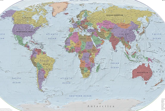
Furthermore, a high resolution world map is an important tool for environmental conservation and sustainability. By providing a detailed and accurate representation of the earth's surface, a high resolution world map can help policymakers to identify areas that are most vulnerable to environmental degradation, such as deforestation, desertification, and sea level rise. It can also be used to plan and implement conservation efforts, such as protected areas and wildlife corridors.
Another significant benefit of a high resolution world map is its value for disaster response and emergency management. During natural disasters such as hurricanes, earthquakes, and floods, a high resolution world map can be used to identify affected areas and plan rescue and relief efforts. Emergency responders can use a high resolution world map to identify key routes and access points, as well as to locate critical infrastructure such as hospitals, shelters, and supply depots.
A high resolution world map can also be an important tool for promoting cultural understanding and appreciation. By providing a detailed and accurate representation of the world's diverse cultures and landmarks, a high resolution world map can help individuals to develop a deeper appreciation for the richness and diversity of human experience. This can lead to greater empathy and tolerance, ultimately contributing to a more peaceful and harmonious world.
Finally, a high resolution world map can be an important tool for business and economic development. Businesses can use a high resolution world map to analyze market trends, identify potential customers, and plan distribution and logistics strategies. Governments can use a high resolution world map to identify areas of economic opportunity, such as natural resources and tourism, and to plan development initiatives.
In conclusion, a high resolution world map is an essential tool for a wide range of applications, including scientific research, navigation, urban planning, environmental conservation, disaster response, cultural understanding, and economic development. It provides a detailed and precise representation of the earth's surface, allowing individuals and organizations to plan and execute their efforts with greater accuracy and effectiveness. Ultimately, a high resolution world map can help to promote a more sustainable, equitable, and peaceful world.
One of the most significant benefits of a high resolution world map is its value for scientific research. For example, geographers and geologists can use a high resolution world map to study the earth's crust, landforms, and natural resources. Biologists and ecologists can use a high resolution world map to analyze the distribution of plant and animal species and to identify areas of high biodiversity. Climate scientists can use a high resolution world map to study the earth's climate patterns and to monitor changes in temperature and precipitation.
A high resolution world map is also an important tool for navigation and transportation. For example, pilots and sailors can use a high resolution world map to plan their routes, identify potential hazards, and navigate unfamiliar territories. Transportation planners can use a high resolution world map to analyze traffic patterns, identify congestion points, and plan new roads and transportation infrastructure.
In addition to its value for research and transportation, a high resolution world map is an essential tool for urban planning and management. City planners and architects can use a high resolution world map to plan new buildings, parks, and public spaces, while also identifying areas that require infrastructure improvements. Local governments can use a high resolution world map to analyze demographic trends, identify areas of high population density, and plan for emergency response and disaster management.
Furthermore, a high resolution world map is an important tool for environmental conservation and sustainability. By providing a detailed and accurate representation of the earth's surface, a high resolution world map can help policymakers to identify areas that are most vulnerable to environmental degradation, such as deforestation, desertification, and sea level rise. It can also be used to plan and implement conservation efforts, such as protected areas and wildlife corridors.
Another significant benefit of a high resolution world map is its value for disaster response and emergency management. During natural disasters such as hurricanes, earthquakes, and floods, a high resolution world map can be used to identify affected areas and plan rescue and relief efforts. Emergency responders can use a high resolution world map to identify key routes and access points, as well as to locate critical infrastructure such as hospitals, shelters, and supply depots.
A high resolution world map can also be an important tool for promoting cultural understanding and appreciation. By providing a detailed and accurate representation of the world's diverse cultures and landmarks, a high resolution world map can help individuals to develop a deeper appreciation for the richness and diversity of human experience. This can lead to greater empathy and tolerance, ultimately contributing to a more peaceful and harmonious world.
Finally, a high resolution world map can be an important tool for business and economic development. Businesses can use a high resolution world map to analyze market trends, identify potential customers, and plan distribution and logistics strategies. Governments can use a high resolution world map to identify areas of economic opportunity, such as natural resources and tourism, and to plan development initiatives.
In conclusion, a high resolution world map is an essential tool for a wide range of applications, including scientific research, navigation, urban planning, environmental conservation, disaster response, cultural understanding, and economic development. It provides a detailed and precise representation of the earth's surface, allowing individuals and organizations to plan and execute their efforts with greater accuracy and effectiveness. Ultimately, a high resolution world map can help to promote a more sustainable, equitable, and peaceful world.