
World Maps


World Map
The origin of world maps can be traced back to ancient civilizations such as the Babylonians and Egyptians who created simple maps to represent their territories and the surrounding world. The Greek philosopher, Pythagoras, is credited with creating one of the first known world maps in the 6th century BCE. However, it wasn't until the Age of Exploration in the 15th and 16th centuries that accurate world maps began to emerge, as explorers traveled to new lands and documented their findings.
The importance of world maps cannot be overstated. They provide a visual representation of the Earth's geography and help us understand the relative positions and distances of different countries and regions. World maps also serve as a crucial tool for navigation and help us plan travel, trade and shipping routes. They are also important for military planning and for understanding the distribution of natural resources, such as oil and gas reserves.
In addition to their practical uses, world maps also hold a certain cultural and historical significance. Maps from different eras often reflect the dominant political and economic powers of the time and provide insight into the perceptions and biases of their creators. For example, medieval maps often portrayed the world as flat and centered around Europe, reflecting the Eurocentric worldview of the time.
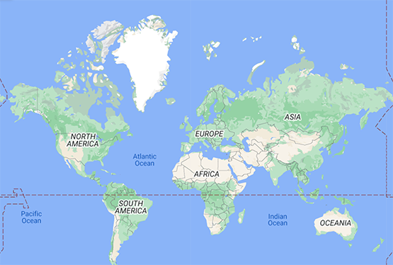
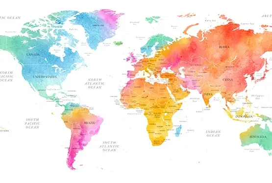
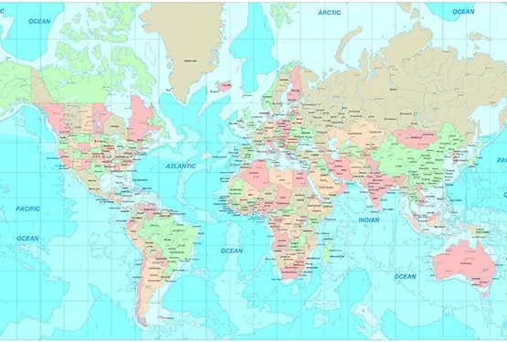
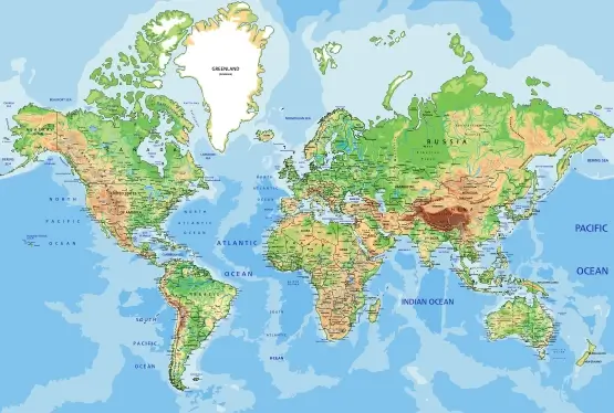
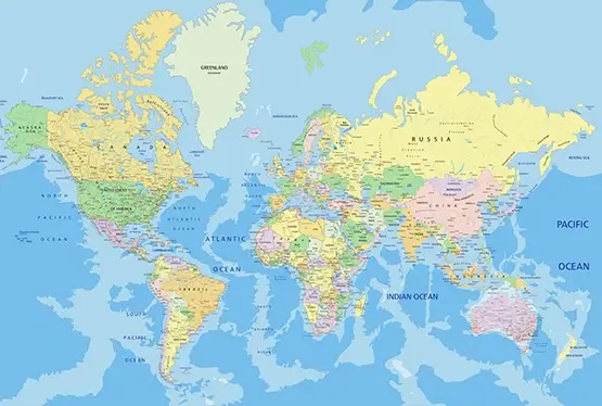
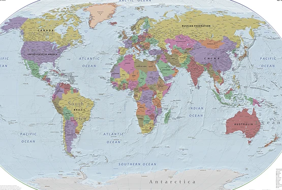
World maps can be created in a variety of styles and formats, ranging from simple flat maps to more complex projections that attempt to accurately represent the Earth's spherical shape. The most widely recognized world map is the Mercator projection, which was created in the 16th century by Flemish cartographer Gerhard Mercator. The Mercator projection is a cylindrical map projection that is widely used for navigation due to its ability to represent lines of constant true direction as straight lines.
Another widely used world map is the Peters projection, which was created in the 20th century by historian and cartographer Arno Peters. The Peters projection is a equal-area map projection that is designed to provide a more accurate representation of the size and shape of countries, particularly those in the Southern Hemisphere.
In addition to traditional paper maps, digital maps have become increasingly popular in recent years, with the rise of mapping services like Google Maps and Apple Maps. Digital maps offer a range of benefits over traditional paper maps, including real-time updates, the ability to display live traffic and weather conditions, and integration with other tools and services.
World maps play a crucial role in our understanding of the world and its geography. They provide a visual representation of the Earth's geography, serve as a valuable tool for navigation and military planning, and hold significant cultural and historical value. With the rise of digital maps, the future of mapping looks bright and offers exciting new possibilities for exploring and understanding our world.
The importance of world maps cannot be overstated. They provide a visual representation of the Earth's geography and help us understand the relative positions and distances of different countries and regions. World maps also serve as a crucial tool for navigation and help us plan travel, trade and shipping routes. They are also important for military planning and for understanding the distribution of natural resources, such as oil and gas reserves.
In addition to their practical uses, world maps also hold a certain cultural and historical significance. Maps from different eras often reflect the dominant political and economic powers of the time and provide insight into the perceptions and biases of their creators. For example, medieval maps often portrayed the world as flat and centered around Europe, reflecting the Eurocentric worldview of the time.
World maps can be created in a variety of styles and formats, ranging from simple flat maps to more complex projections that attempt to accurately represent the Earth's spherical shape. The most widely recognized world map is the Mercator projection, which was created in the 16th century by Flemish cartographer Gerhard Mercator. The Mercator projection is a cylindrical map projection that is widely used for navigation due to its ability to represent lines of constant true direction as straight lines.
Another widely used world map is the Peters projection, which was created in the 20th century by historian and cartographer Arno Peters. The Peters projection is a equal-area map projection that is designed to provide a more accurate representation of the size and shape of countries, particularly those in the Southern Hemisphere.
In addition to traditional paper maps, digital maps have become increasingly popular in recent years, with the rise of mapping services like Google Maps and Apple Maps. Digital maps offer a range of benefits over traditional paper maps, including real-time updates, the ability to display live traffic and weather conditions, and integration with other tools and services.
World maps play a crucial role in our understanding of the world and its geography. They provide a visual representation of the Earth's geography, serve as a valuable tool for navigation and military planning, and hold significant cultural and historical value. With the rise of digital maps, the future of mapping looks bright and offers exciting new possibilities for exploring and understanding our world.
| 0 | A | B | C | D | E |
| F | G | H | I | J | K |
| L | M | N | O | P | Q |
| R | S | T | U | V | W |
| X | Y | Z | # | ||