
India Interactive Map


GK NXT - Great Knowledge for Genius Kids
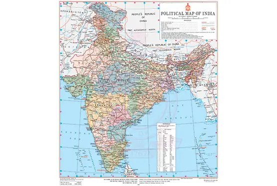
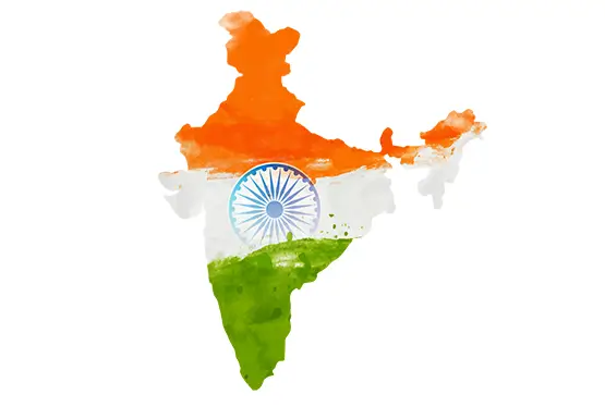
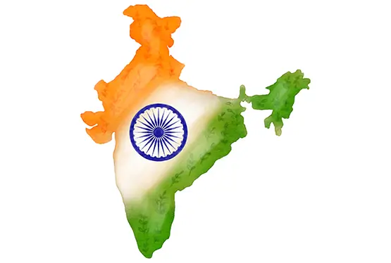
India’s interactive map is a gateway to exploring one of the most diverse and vibrant nations on Earth. Spanning 3.287 million square kilometers, India is the seventh-largest country by area and the second most populous. Its varied geography, rich history, and cultural wealth make it a fascinating subject for study and travel. The interactive map brings to life India’s landscapes, heritage, and bustling cities, offering an immersive experience for learners and explorers alike.
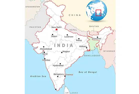
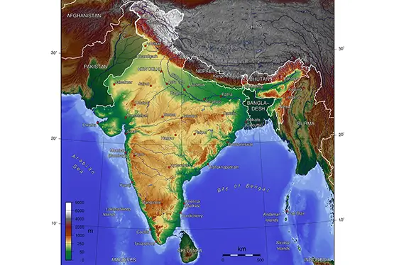
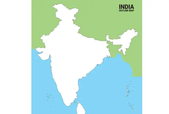
India’s geography is a study in contrasts. From the snow-clad peaks of the Himalayas in the north to the coastal plains in the south, the country showcases a range of ecosystems and climates. It is bordered by Pakistan, China, Nepal, Bhutan, Bangladesh, and Myanmar, with the Indian Ocean to its south.
The interactive map highlights key geographical features:
- The Himalayan Region: Home to some of the world’s highest mountains, including Kangchenjunga, the third tallest peak globally.
- The Indo-Gangetic Plain: Fertile land nourished by rivers like the Ganges, Brahmaputra, and Yamuna, forming the backbone of Indian agriculture.
- The Thar Desert: Spanning Rajasthan, this arid expanse contrasts sharply with India’s lush regions.
- The Western and Eastern Ghats: Mountain ranges flanking the Deccan Plateau, rich in biodiversity and home to UNESCO World Heritage Sites.
India’s history is a mosaic of ancient civilizations, empires, and revolutions. The interactive map allows users to explore the sites of the Indus Valley Civilization, one of the world’s earliest urban cultures. Cities like Mohenjo-daro and Harappa reveal sophisticated planning and engineering from 2500 BCE.
The map also traces the footprints of empires such as the Mauryas, Guptas, and Mughals, whose architectural marvels, like the Taj Mahal and Fatehpur Sikri, are icons of India’s cultural legacy. Key historical landmarks include:
- Delhi: A city that has served as the capital for several empires, marked by monuments like Qutub Minar and Red Fort.
- Varanasi: One of the world’s oldest continuously inhabited cities, known for its spiritual significance and ghats.
- Hampi: A UNESCO World Heritage Site, once the capital of the Vijayanagara Empire.
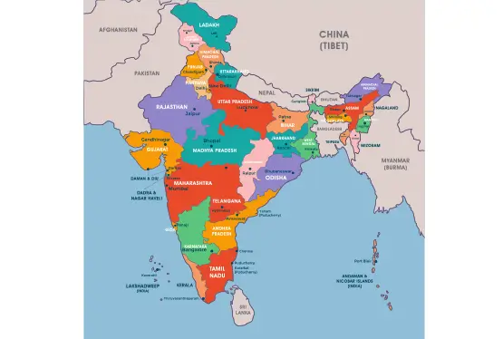
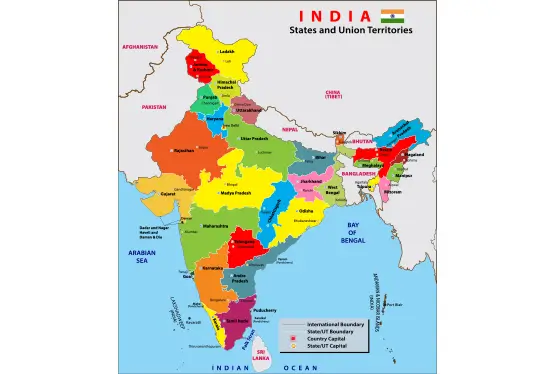
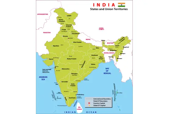
India is home to 28 states and 8 Union Territories, each with its own unique traditions, languages, and festivals. The interactive map provides insights into this cultural kaleidoscope, highlighting:
- Languages: With 22 officially recognized languages and hundreds of dialects, India’s linguistic diversity is unparalleled.
- Festivals: Events like Diwali, Eid, Christmas, and Pongal reflect India’s religious and cultural plurality.
- Art Forms: From Kathakali in Kerala to Kathak in Uttar Pradesh, the map showcases the rich heritage of Indian performing arts.
The interactive map also highlights culinary hotspots, from Punjab’s tandoori cuisine to Tamil Nadu’s dosas, offering a virtual feast for food enthusiasts.
India’s natural beauty is as diverse as its culture. The interactive map showcases:
- Kaziranga National Park: A sanctuary for the one-horned rhinoceros in Assam.
- Sundarbans: The largest mangrove forest in the world and a UNESCO World Heritage Site.
- Western Ghats: A biodiversity hotspot teeming with endemic flora and fauna.
- Rann of Kutch: A salt marsh in Gujarat, known for its stark beauty and vibrant Rann Utsav.
Politically, India is a federal republic with a parliamentary system. The interactive map delineates 28 states and 8 Union Territories, each governed by its own elected body or administrator.
Economically, India is a global powerhouse. The map highlights key industrial zones like:
- Bengaluru: Dubbed the "Silicon Valley of India," it is a hub for IT and innovation.
- Mumbai: The financial capital, home to the Bombay Stock Exchange and Bollywood.
- Delhi-NCR: A center for trade, technology, and government institutions.
- Chennai: Known for its automobile and manufacturing industries.
The interactive map invites travelers to explore India’s myriad attractions. Key destinations include:
- Golden Triangle: Delhi, Agra, and Jaipur, known for their historical and architectural treasures.
- Goa: A coastal paradise famous for its beaches and Portuguese heritage.
- Kashmir: Often called "Heaven on Earth" for its stunning landscapes.
- Kerala: Renowned as "God’s Own Country," with backwaters and lush greenery.
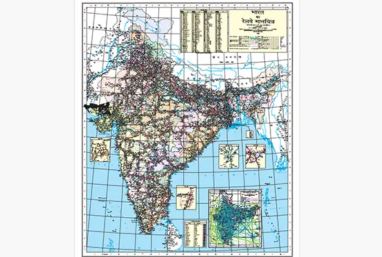
The map also emphasizes India’s extensive rail and road networks, including the Palace on Wheels luxury train and iconic highways like the Golden Quadrilateral.
FAQ
Q: What makes India’s interactive map unique?
A: The interactive map allows users to explore India’s diverse geography, cultural landmarks, and economic hubs with detailed insights.
Q: What are India’s major geographical features?
A: Key features include the Himalayas, the Indo-Gangetic Plain, the Thar Desert, and the Western and Eastern Ghats.
Q: How many states and Union Territories does India have?
A: India has 28 states and 8 Union Territories.
Q: Which are the top travel destinations in India?
A: Popular destinations include the Golden Triangle (Delhi, Agra, Jaipur), Goa, Kashmir, and Kerala.
The interactive map of India is more than a tool; it is a window into the heart of a nation brimming with contrasts and connections. Whether exploring its geography, delving into history, or planning a journey, the map serves as an invaluable resource for understanding and experiencing the magic of India.
