
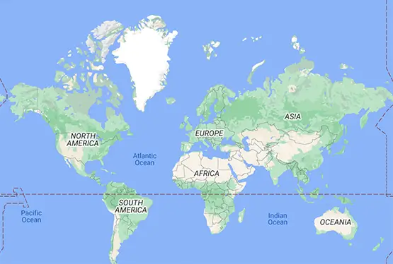
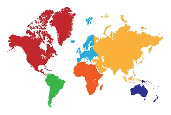
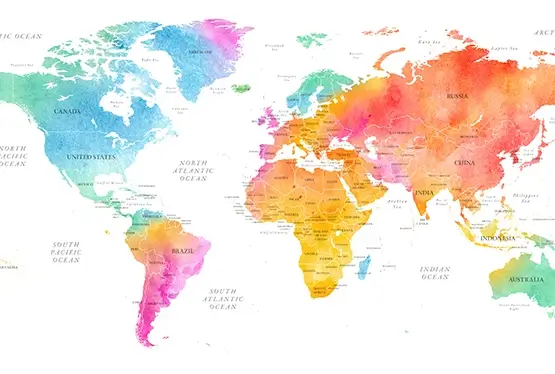
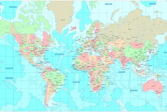
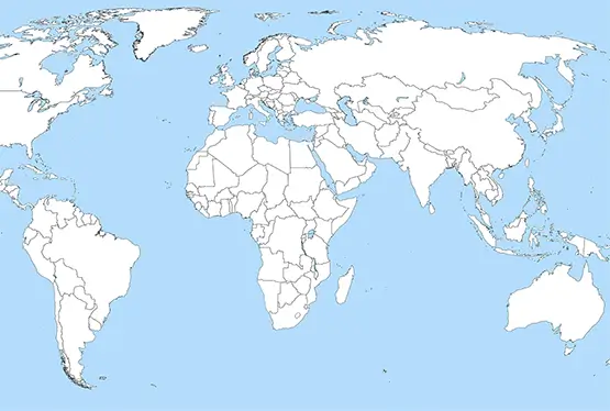
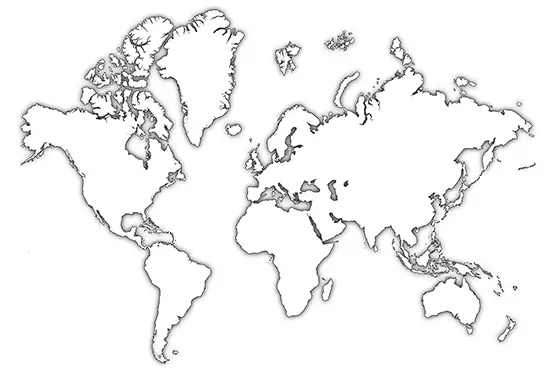
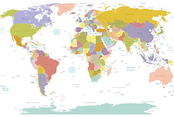
World blank map with countries
Blank World Map with country borders

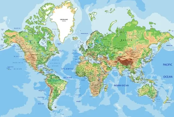
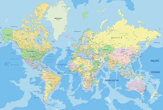
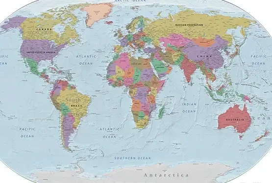
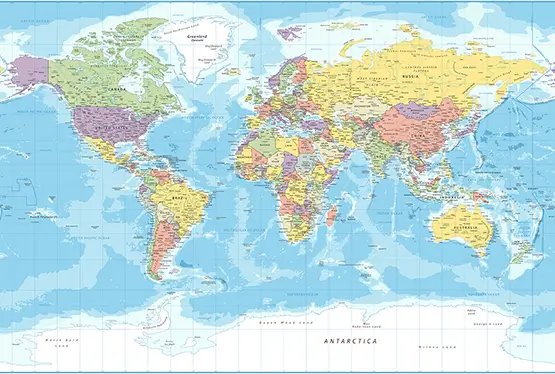
World Maps


GK NXT - Great Knowledge for Genius Kids
A blank world map with country borders is not just an educational tool; it is a canvas of opportunity for exploration and understanding. These maps, stripped of labels, allow users to interact directly with the geography of our planet, fostering a deeper appreciation for its complexity and interconnectedness. This article delves into the history, educational applications, and practical uses of blank world maps, while also exploring their role in modern cartography and global awareness.
Blank maps have a long history, tracing back to early civilizations where cartographers created rudimentary representations of the world for navigation and territorial claims. During the Age of Exploration, blank maps became critical tools for explorers, who filled in unknown regions based on their discoveries.
For example, maps from the 15th and 16th centuries often featured vast empty spaces labeled "Terra Incognita" or "Unknown Land." These maps symbolized humanity’s curiosity and determination to uncover the mysteries of the Earth.
Blank world maps are invaluable in education, serving as a foundation for learning geography, history, and even politics. Students use these maps to locate countries, draw borders, and label capitals, enhancing their spatial awareness and memory retention.
Interactive exercises, such as filling in country names or marking historical events, make geography engaging and accessible. For instance, students can trace the routes of ancient trade networks, like the Silk Road, or illustrate colonial expansions during the Age of Imperialism.
Today, blank world maps are used in diverse fields, from education to environmental science and business strategy. Conservationists use them to map endangered species’ habitats, while climate scientists track environmental changes and deforestation.
Businesses and policymakers use blank maps to analyze market regions, visualize trade routes, and plan logistics. For instance, international corporations rely on such maps to optimize supply chains and identify new markets for expansion.
The field of cartography has evolved dramatically over the centuries. Early blank maps were hand-drawn and lacked precision, often filled in with artistic embellishments like sea monsters or mythical lands.
With advancements in satellite imagery and Geographic Information Systems (GIS), modern blank maps are highly accurate and customizable. GIS technology enables users to layer data, such as population density or climate zones, onto blank maps, transforming them into dynamic tools for analysis.
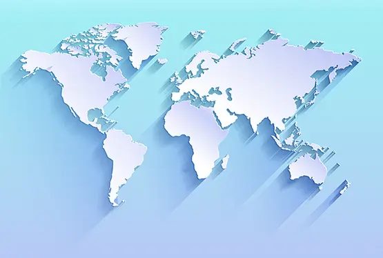
Beyond their practical applications, blank world maps inspire creativity. Artists use them as the basis for visual projects, while educators design interactive games and puzzles. Travelers mark their journeys on blank maps, creating personalized records of their adventures.
Digital blank maps have opened new possibilities for storytelling. For example, historical reenactments or fictional narratives can be visualized by overlaying timelines and events onto a blank map, making history come alive.
A blank world map with country borders is far more than an empty outline—it is a tool for discovery, education, and creativity. Its ability to engage users across disciplines and inspire curiosity underscores its enduring relevance in a rapidly changing world. As technology continues to enhance cartography, blank maps will remain an essential resource for connecting people with the geography of our planet.
FAQ
Q: What is a blank world map with country borders?
A: A blank world map with country borders is an outline map that displays the borders of countries without labels or additional information, allowing users to explore and customize the map as needed.
Q: How can blank world maps be used in education?
A: Blank maps are excellent tools for learning geography, history, and politics. They help students locate countries, draw borders, and label landmarks, making lessons interactive and engaging.
Q: What are the modern applications of blank maps?
A: Blank maps are used for environmental research, business strategy, and market analysis. They help track deforestation, plan logistics, and visualize trade routes.
Q: How has technology enhanced blank maps?
A: Advances in GIS and satellite imagery have made blank maps more accurate and customizable. Users can layer data such as population density or climate zones to analyze specific areas.
Q: What creative uses do blank maps have?
A: Blank maps inspire creativity for art projects, educational games, and personal travel logs. They can also be used to visualize historical events or fictional narratives.
High Resolution Blank World Map with country borders

