
High Resolution World Map
High Resolution World Map

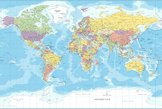
World Maps


GK NXT - Great Knowledge for Genius Kids
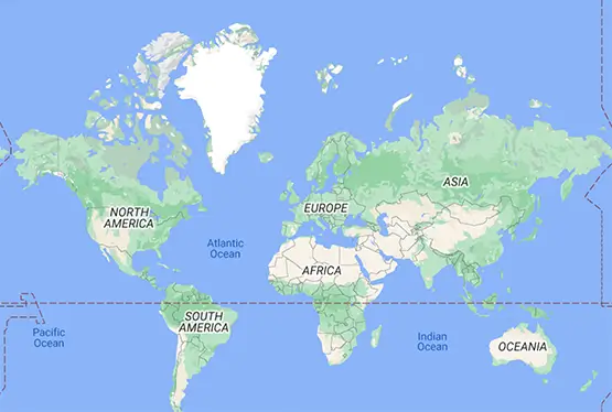
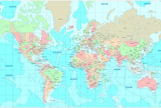
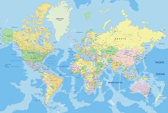
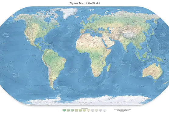
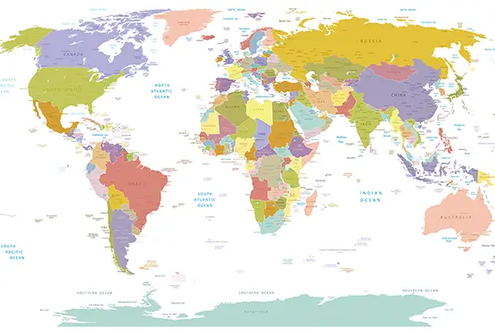
The world map in high resolution offers a gateway to understanding our planet with precision and clarity. A single glance at this cartographic masterpiece reveals not only the geographical arrangement of continents, oceans, and islands but also intricate details of topography, political boundaries, and natural landmarks. In this article, we explore the historical evolution, practical applications, and transformative potential of high-resolution world maps.
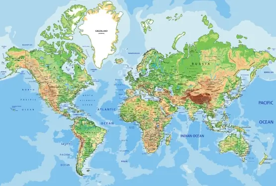
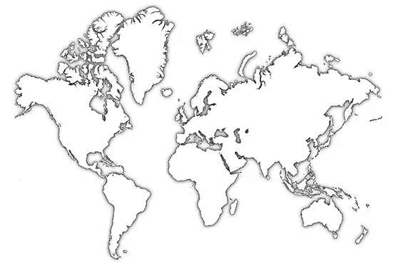
High-resolution world maps blend artistic finesse with technological advancement. Unlike traditional maps, which may generalize or omit features, high-resolution maps capture minute details. From the jagged coastlines of Norway’s fjords to the subtle elevation changes of the Great Plains, every feature is presented with accuracy.
Cartographers achieve this precision through satellite imagery, LIDAR technology, and Geographic Information Systems (GIS). These tools generate data that is layered and processed to produce maps capable of revealing both macro and micro features, catering to diverse audiences—from scientists to educators and travelers.
High-resolution maps are transformative in education. They allow students to observe details such as tectonic plate boundaries, river deltas, and climate zones in unprecedented clarity. By studying the Himalayas or the Amazon rainforest, learners connect geography with ecosystems and human activity.
Interactive high-resolution maps enhance learning further. Digital platforms enable users to zoom into specific regions, overlay historical events, or explore real-time environmental changes. For instance, a student can trace the Silk Road’s ancient routes while also viewing modern geopolitical borders.
The journey of cartography spans thousands of years. Early maps etched on clay tablets or drawn on papyrus served basic navigational purposes. The Renaissance marked a leap forward, with cartographers like Gerardus Mercator introducing projections that revolutionized the field.
Today, high-resolution maps represent the pinnacle of cartographic evolution. Satellite technology offers imagery with resolutions as fine as 30 centimeters, while GIS software enables the integration of vast datasets. These innovations make modern maps tools for scientific discovery, policy planning, and public engagement.
High-resolution maps have practical uses across industries. Urban planners use them to design infrastructure that minimizes environmental disruption. Conservationists rely on them to identify endangered habitats and monitor deforestation. Disaster response teams use these maps to plan evacuations and assess damage after natural calamities.
For example, detailed maps of coastal areas have been critical in addressing rising sea levels. Maps showcasing biodiversity hotspots direct resources to regions most in need of protection. These applications demonstrate the indispensability of high-resolution mapping in modern problem-solving.
The future of world maps lies in greater interactivity and immersion. Technologies such as Virtual Reality (VR) and Augmented Reality (AR) are transforming how we engage with maps. Users can virtually explore the Grand Canyon or navigate the Great Barrier Reef from the comfort of their homes.
Sustainable cartography is another frontier. By integrating real-time data, maps can visualize environmental changes as they happen, providing valuable insights for combating climate change. The synergy of technology and cartographic expertise promises a future where maps are not just tools but dynamic gateways to understanding our planet.
A high-resolution world map is more than a geographical artifact; it is a canvas that captures the Earth’s complexity in stunning detail. By combining artistry, science, and technology, these maps inspire exploration, foster education, and address global challenges. As we embrace the possibilities of advanced cartography, high-resolution maps will remain an essential tool for connecting people with their world.
FAQ
Q: What makes a high-resolution world map unique?
A: High-resolution world maps capture intricate geographical details, including topography, political boundaries, and natural landmarks, with exceptional clarity and precision.
Q: How are high-resolution maps created?
A: These maps are created using advanced tools like satellite imagery, LIDAR, and GIS technology, which process vast datasets to render both macro and micro features accurately.
Q: How can high-resolution maps be used in education?
A: They help students explore tectonic plate boundaries, climate zones, and historical trade routes, and offer interactive features for real-time environmental and geographical studies.
Q: What are some practical applications of high-resolution maps?
A: These maps are used in urban planning, conservation efforts, disaster management, and monitoring environmental changes such as deforestation and rising sea levels.
Q: What is the future of cartography?
A: The future lies in interactive technologies like Virtual Reality (VR) and Augmented Reality (AR), along with real-time data integration for climate change visualization and immersive exploration.
Ultra High Resolution World Map
