
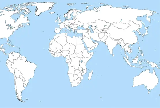
Interactive Map of the World
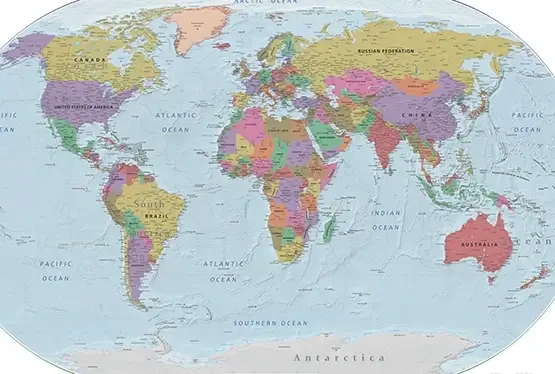
Free interactive map of the world
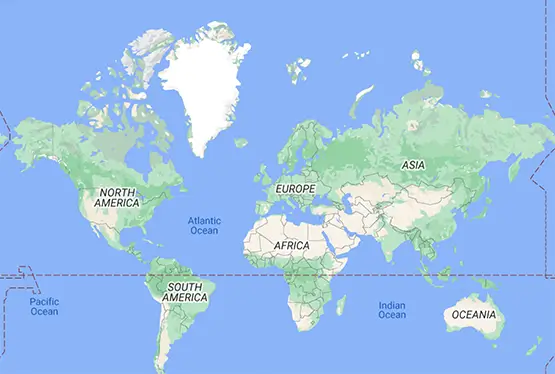
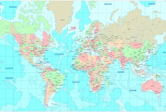
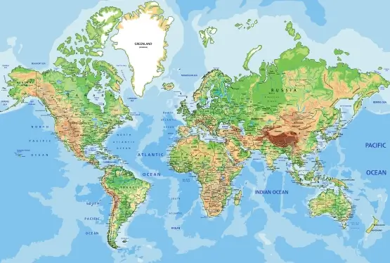
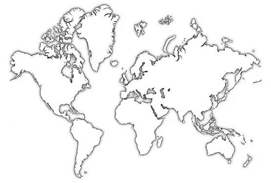
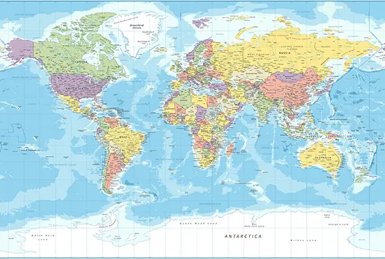
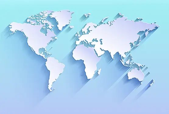
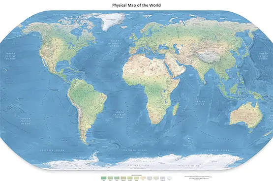
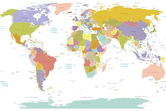
World Maps


GK NXT - Great Knowledge for Genius Kids
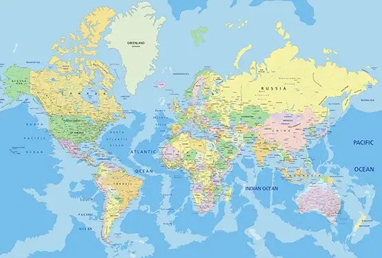
Free Interactive Maps of the World
Maps have been central to human civilization for millennia, evolving from rudimentary sketches on parchment to high-resolution digital renderings accessible to anyone with an internet connection. The advent of interactive maps has transformed the way we perceive and engage with geography, enabling real-time exploration, analysis, and learning. This article delves into the fascinating world of interactive maps, exploring their technological advancements, applications, and their profound impact on education, travel, and global awareness.
Technological Evolution
The journey from static to interactive maps is a testament to technological innovation. Early static maps, though beautifully crafted, offered limited functionality. In the 20th century, Geographic Information Systems (GIS) marked a paradigm shift by enabling the integration of data layers into maps. The rise of the internet further propelled this evolution, culminating in platforms like Google Maps and OpenStreetMap, which offer unprecedented interactivity.
Key technologies powering interactive maps include JavaScript libraries such as Leaflet and Mapbox, which facilitate dynamic rendering and user interaction. Additionally, the integration of satellite imagery and real-time data feeds has made these maps indispensable for various applications, from urban planning to disaster response.
Educational Impact
Interactive maps have revolutionized education by making geography, history, and science engaging and accessible. Platforms like National Geographic Education and Esri’s ArcGIS allow students to visualize historical events, demographic trends, and ecological changes. For example, students can explore the effects of deforestation in the Amazon Rainforest through time-lapse visualizations, fostering a deeper understanding of environmental issues.
Furthermore, interactive maps support inclusivity by offering multilingual interfaces and accessibility features for visually impaired users, ensuring a broader reach and impact.
Travel and Exploration
For travelers, interactive maps are indispensable tools. Applications such as Google Earth enable users to explore distant lands virtually, offering street-level views, 3D terrain, and cultural landmarks. Platforms like TripAdvisor integrate interactive maps to help users discover hotels, restaurants, and attractions tailored to their preferences.
Moreover, apps like AllTrails cater to outdoor enthusiasts by providing detailed trail maps with elevation profiles and user reviews, enhancing the adventure experience. These maps—updated in real-time—offer unparalleled insights into the world, making exploration more accessible and personalized than ever.
Scientific and Environmental Applications
In science and environmental conservation, interactive maps play a crucial role. Scientists use platforms like NASA Worldview to monitor climate change, track hurricanes, and analyze vegetation patterns. Conservation organizations leverage these maps to track animal migrations and identify critical habitats, aiding in biodiversity preservation.
One notable example is Global Forest Watch, which uses satellite data to provide real-time insights into deforestation activities. These tools empower policymakers and activists to make informed decisions, demonstrating the immense potential of interactive maps to address global challenges.
Challenges and Opportunities
Despite their benefits, interactive maps face challenges such as data accuracy, privacy concerns, and the digital divide. Ensuring the reliability of real-time data requires rigorous validation processes, while privacy issues arise from location tracking features. Moreover, limited internet access in remote regions hinders the adoption of these technologies.
However, these challenges present opportunities for innovation. Initiatives like open data policies and collaborative mapping projects (e.g., OpenStreetMap) address data accuracy and inclusivity. Additionally, advancements in offline map functionality are bridging connectivity gaps, making interactive maps more universally accessible.
Conclusion: Navigating the Future
Interactive maps have transcended their traditional role as tools for navigation, becoming powerful instruments for education, exploration, and global problem-solving. Their ability to merge real-time data with user-friendly interfaces has redefined our interaction with the world, offering insights that were once unimaginable.
As we embrace this digital cartographic revolution, it is imperative to address its challenges while leveraging its potential for a more connected and informed world. Interactive maps are not just reflections of our planet—they are portals to understanding, discovery, and action, guiding us toward a more sustainable and inclusive future.
FAQ
What are interactive maps?
Free Interactive maps are digital tools that allow users to engage with geographical data in real-time through dynamic features such as zooming, panning, and data overlays.
What are some popular platforms for interactive maps?
Popular platforms include ArcGIS, and NASA Worldview. These tools offer a variety of features for navigation, education, and environmental monitoring.
How do interactive maps benefit education?
Interactive maps make learning more engaging by visualizing historical events, ecological changes, and demographic data. They support hands-on learning and encourage critical thinking.
Are interactive maps accessible to everyone?
Many interactive maps include accessibility features such as multilingual interfaces and options for visually impaired users. Offline functionality is also improving accessibility in remote areas.
What is the future of interactive maps?
The future of free interactive maps lies in integrating AI, real-time data, and improved accessibility. Innovations will focus on solving global challenges, enhancing education, and enriching user experiences.

