
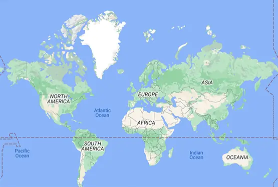
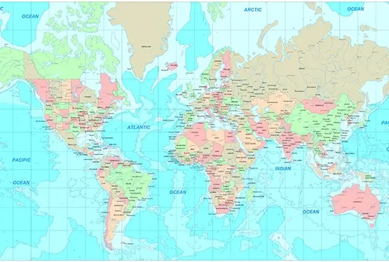
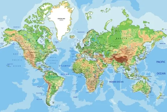
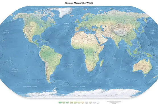
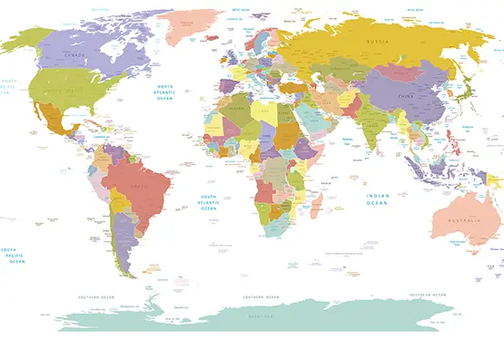
Physical Map of the World
High Resolution World Physical Map

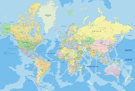
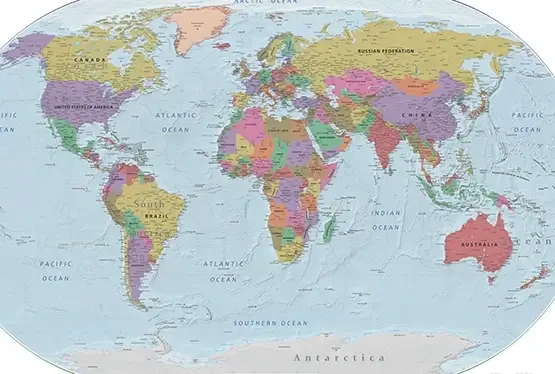
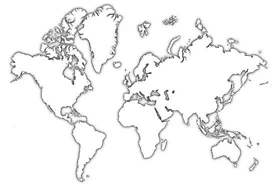
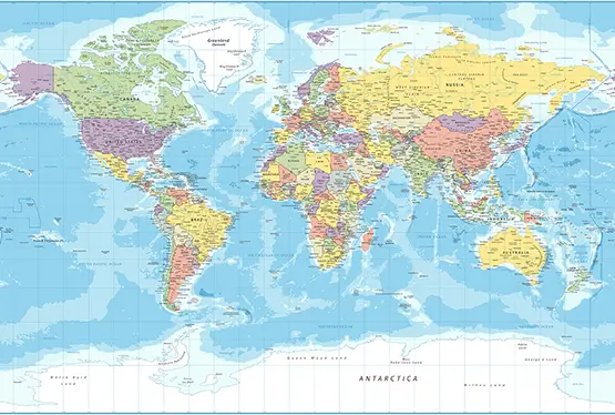
World Maps


GK NXT - Great Knowledge for Genius Kids
A World Physical Map in High Resolution offers a detailed and visually stunning representation of Earth's natural features. From mountain ranges and river systems to deserts and ocean depths, these maps bring to life the planet's physical geography with unprecedented clarity and precision. This article explores the importance, features, applications, and evolution of high-resolution physical maps.
What is a Physical Map?
A physical map focuses on the natural landscape of the Earth, highlighting features such as:
- Topography: Elevations and depressions represented through contour lines, shading, or color gradients.
- Water Bodies: Rivers, lakes, seas, and oceans with details on depth and flow direction.
- Landforms: Mountains, valleys, plateaus, and plains depicted with their precise locations and elevations.
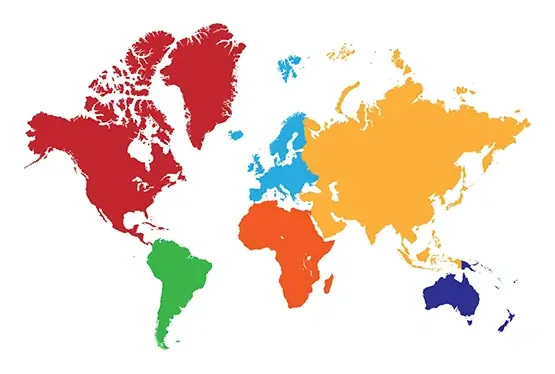
Unlike political maps, which emphasize human-made boundaries, physical maps delve into the Earth's natural characteristics, serving as essential tools for understanding our environment.
The Evolution of Physical Maps
The development of physical maps has been a journey of continuous innovation. Early cartographers relied on exploration and observation, producing maps that were often artistic interpretations. The 18th and 19th centuries saw advancements in surveying techniques, leading to more accurate depictions of terrain.
The advent of aerial photography and satellite imagery in the 20th century revolutionized cartography. Today, technologies like LiDAR and GIS enable the creation of high-resolution physical maps that are accurate, interactive, and visually compelling.
Features of High-Resolution Physical Maps
High-resolution physical maps stand out due to their detailed and realistic representation of Earth's features. Key characteristics include:
- Detailed Elevation Data: Precise depictions of altitude variations, often using digital elevation models (DEMs).
- Color Coding: Gradients that differentiate elevations, depths, and vegetation zones.
- 3D Effects: Advanced rendering techniques that simulate terrain undulations.
- Interactive Features: Digital maps that allow users to zoom, rotate, and explore specific regions.
Applications of Physical Maps
Physical maps in high resolution have diverse applications:
- Education: Enhance geography lessons by providing students with an accurate understanding of Earth's physical features.
- Environmental Studies: Aid in analyzing ecosystems, deforestation, and climate change impacts.
- Urban Planning: Assist in site selection, resource allocation, and disaster risk assessment.
- Travel and Exploration: Serve as guides for outdoor activities like hiking, camping, and kayaking.
Challenges and Future Prospects
Despite their advantages, high-resolution physical maps face certain challenges:
- Data Collection: Gathering accurate and comprehensive data requires significant resources.
- Technology Costs: Advanced mapping technologies can be expensive and require expertise.
- Accessibility: Ensuring that these maps are available to underserved regions is crucial.
The future of physical maps lies in leveraging AI, machine learning, and virtual reality to create more immersive and user-friendly experiences.
Conclusion
The World Physical Map in High Resolution is a window into Earth's natural wonders. By offering unparalleled detail and accuracy, these maps not only educate but also inspire curiosity and a deeper appreciation for our planet. Whether used in classrooms, research, or adventure, they remain an invaluable tool for exploring the world around us.
FAQ
Q: What is a high-resolution physical map?
A: A high-resolution physical map provides detailed and precise representations of Earth's natural features, including topography and water bodies.
Q: How are high-resolution maps created?
A: They are created using advanced technologies such as satellite imagery, LiDAR, and GIS software for accuracy and detail.
Q: What are the uses of high-resolution physical maps?
A: They are used in education, environmental studies, urban planning, and outdoor activities like hiking and exploration.
Q: Are these maps accessible online?
A: Yes, many platforms like Google Earth and specialized GIS tools offer access to high-resolution physical maps.
Q: What challenges do high-resolution maps face?
A: Challenges include high costs of data collection, ensuring accuracy, and making the maps widely accessible to all regions.
Ultra High Resolution World Physical Map

