
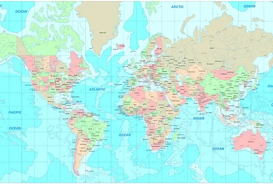
Detailed Political Map of the World
Detailed Political Map of the World

World Maps


GK NXT - Great Knowledge for Genius Kids
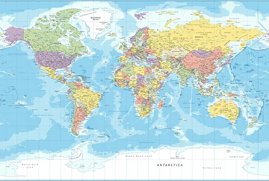
The detailed world political map in high resolution serves as an indispensable resource for understanding the complexities of global governance, boundaries, and relationships between nations. With precise delineations and visually striking detail, it provides invaluable insights for students, researchers, policymakers, and travelers. This article explores the features, historical context, and modern applications of high-resolution political maps.
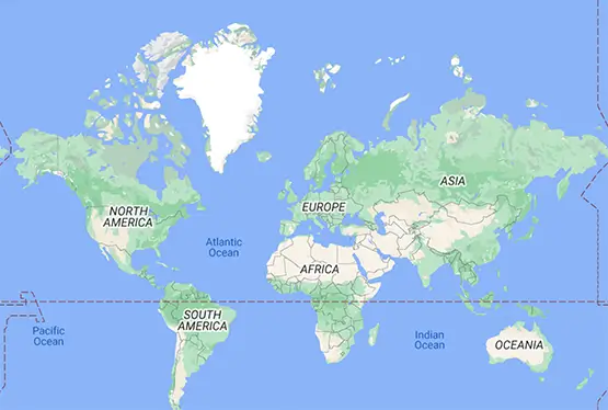
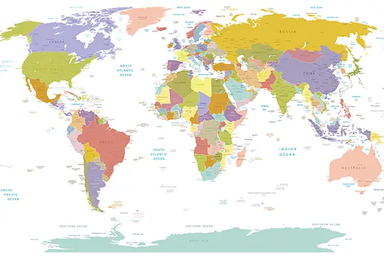
What is a Political Map?
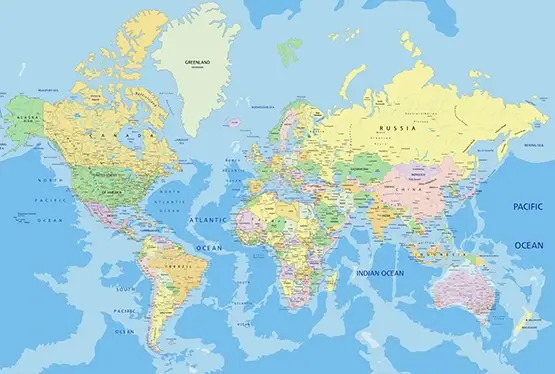
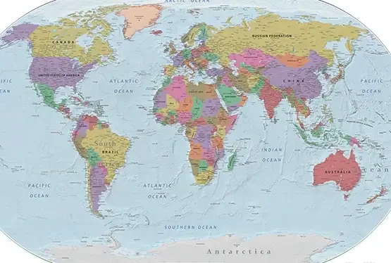
A political map represents the geopolitical layout of the world, highlighting features such as:
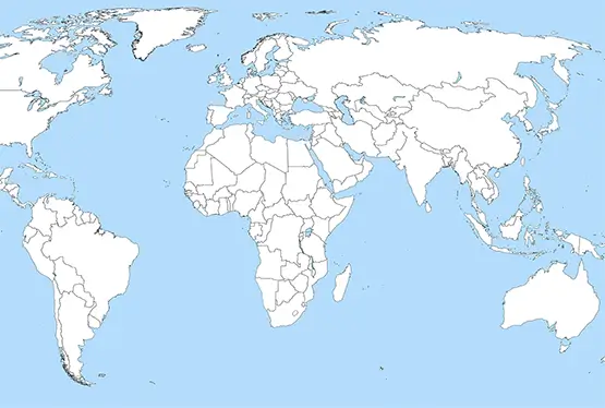
- Country Boundaries: Clearly marked borders between sovereign states.
- Administrative Divisions: Internal divisions like states, provinces, and regions.
- Capitals and Major Cities: Essential hubs of governance and commerce.
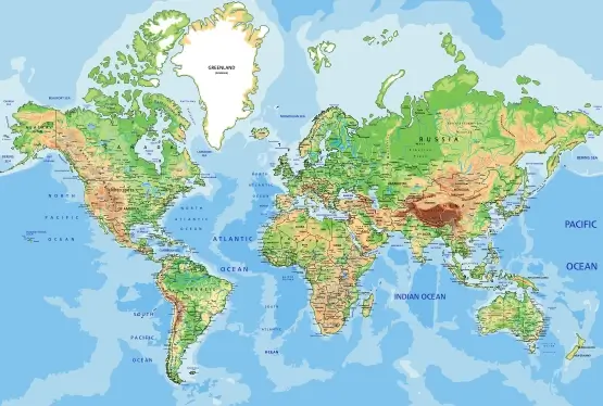
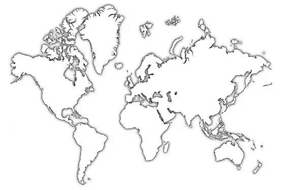
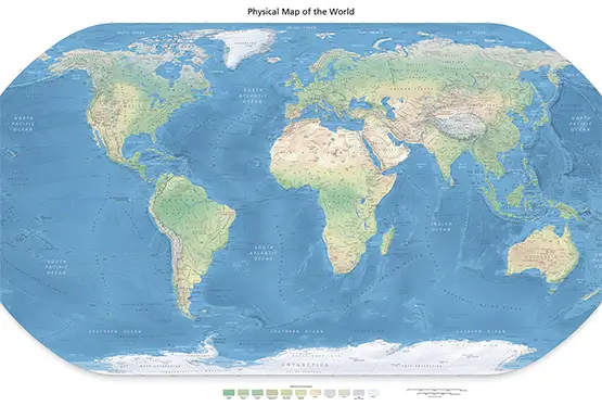
Unlike physical maps, which focus on natural features, political maps emphasize human-made divisions, offering a framework for understanding global geopolitics and governance.
The Evolution of Political Maps
Political maps have evolved over centuries, reflecting the changing dynamics of power and territory. Key milestones include:
- Ancient Cartography: Early maps, such as those from Babylon and Greece, included rudimentary political divisions.
- Medieval Developments: Maps like the Mappa Mundi incorporated theological and geopolitical elements.
- Colonial Era: Maps of the 18th and 19th centuries mirrored the territorial expansions of European empires.
- Modern Times: Technological advancements, such as satellite imagery and GIS, have transformed political mapping into a precise and interactive field.
Features of High-Resolution Political Maps
High-resolution political maps stand out for their detail and clarity, offering:
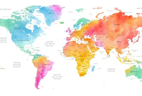
- Sharp Boundary Lines: Accurately defined borders between nations and territories.
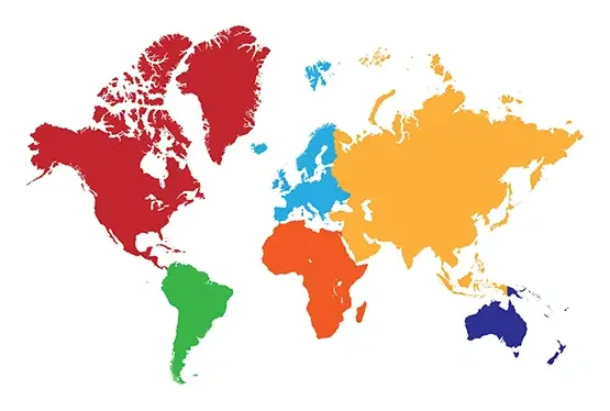
- Color-Coded Regions: Distinct colors to differentiate countries, states, and provinces.
- Annotated Details: Labels for capitals, major cities, and key landmarks.
- Interactive Elements: Digital maps often include zoom, search, and overlay features for deeper exploration.
Applications of Political Maps
Political maps in high resolution are invaluable across various domains:
- Education: Students use them to learn geography, history, and international relations.
- Diplomacy: Aid diplomats and policymakers in negotiations and conflict resolution.
- Business: Support multinational corporations in market analysis and planning.
- Travel: Help travelers understand the political layout of regions they plan to visit.
Challenges and Innovations
While high-resolution political maps offer numerous benefits, they also face challenges:
- Disputed Borders: Representing areas like Kashmir or the South China Sea can be contentious.
- Technological Access: High-resolution maps require advanced tools and internet connectivity, limiting access in some regions.
- Data Updates: Keeping maps current amid political changes is a complex task.
Innovations such as AI-driven cartography and real-time updates via satellite data are helping address these issues, paving the way for even more accurate and accessible maps.
Conclusion
The detailed world political map in high resolution is more than a visual guide; it is a tool for understanding the intricate tapestry of global relationships and governance. From classrooms to boardrooms, it serves as a cornerstone of geographic literacy and decision-making, continually adapting to the evolving landscape of our world.
FAQ
Q: What is a high-resolution political map?
A: A high-resolution political map provides a detailed view of global boundaries, administrative divisions, and key geopolitical features.
Q: Why are high-resolution political maps important?
A: They offer precise and clear representations of geopolitical layouts, aiding in education, diplomacy, business, and travel.
Q: How do digital political maps differ from traditional maps?
A: Digital maps are interactive, allowing users to zoom, search, and explore regions in greater detail compared to static traditional maps.
Q: What challenges exist with political maps?
A: Challenges include representing disputed borders, ensuring data accuracy, and making maps accessible in underserved regions.
Q: Are high-resolution political maps available online?
A: Yes, many platforms such as Google Maps and GIS-based tools provide access to detailed political maps with interactive features.
High Res Detailed Political Map of the World

