
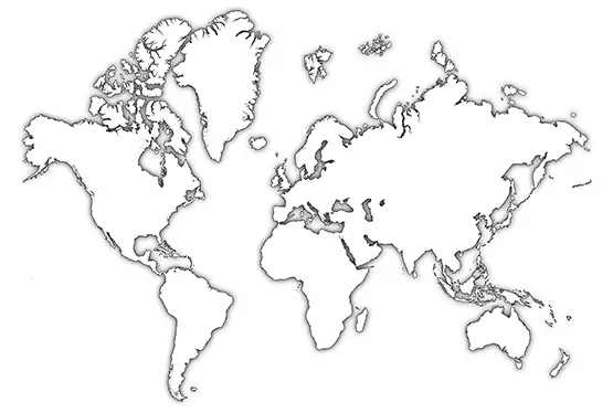
World Map Outline 3D
World Map Outline 3D

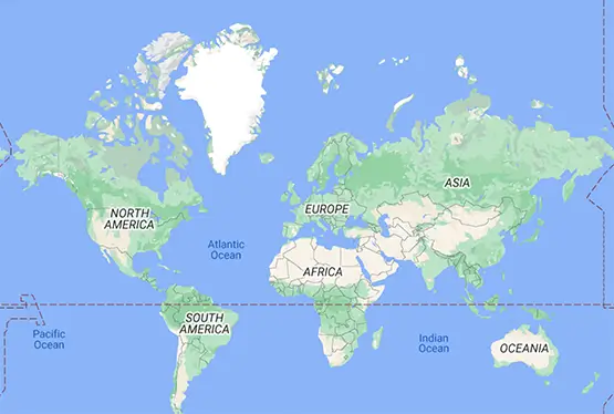
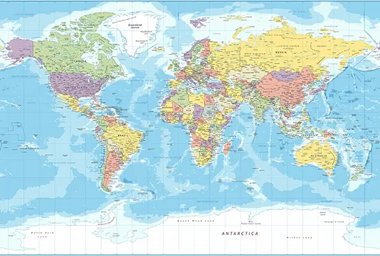
World Maps


GK NXT - Great Knowledge for Genius Kids
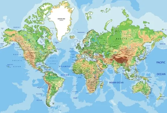
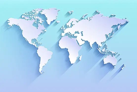
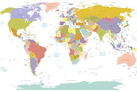
The Outline World Map in 3D Blue-Green Color offers a stunning visual representation of our planet, blending artistic appeal with geographic accuracy. This innovative design not only enhances the map's aesthetic but also adds depth and clarity, making it an exceptional tool for education, research, and exploration. This article delves into the unique features, applications, and significance of this modern cartographic marvel.
What Makes a 3D Blue-Green Outline Map Unique?
A 3D blue-green outline map is a digital or physical representation that combines topographical accuracy with visual simplicity. Its distinctive features include:
- Color Palette: The blue-green tones represent water bodies and landmasses, creating a soothing and intuitive visual experience.
- 3D Elevations: Depth and height variations are highlighted, offering a realistic view of mountains, valleys, and ocean floors.
- Minimalist Design: By focusing on outlines, the map provides a clear overview of geographical boundaries without overwhelming details.
Historical Evolution of World Maps
The journey of world maps from flat parchment sketches to sophisticated 3D designs reflects humanity's quest for knowledge and exploration. Key milestones include:
- Ancient Maps: Early maps from Mesopotamia and Greece depicted local terrains with symbolic elements.
- Medieval Cartography: Maps like the T-O diagram blended geographical knowledge with religious interpretations.
- Modern Projections: Innovations like the Mercator projection and satellite imaging revolutionized accuracy and usability.
- 3D Mapping: Today’s technology, including GIS and LiDAR, has enabled the creation of interactive and detailed 3D maps.
Applications of the 3D Blue-Green Map
This map format has diverse uses across various fields:
- Education: Teachers use these maps to illustrate geography lessons with engaging visuals.
- Environmental Studies: Researchers study climate change, deforestation, and oceanic shifts using these maps.
- Travel and Tourism: Travelers explore destinations virtually and plan routes efficiently.
- Urban Planning: Architects and planners analyze terrain for infrastructure projects.
Advantages of Using 3D Blue-Green Maps
The combination of 3D modeling and a blue-green color scheme offers several benefits:
- Enhanced Clarity: Clear demarcation of water bodies and landmasses simplifies interpretation.
- Aesthetic Appeal: The color scheme is visually pleasing, making it suitable for presentations and publications.
- Realistic Perspectives: 3D elevations provide a tangible sense of scale and geography.
- Interactivity: Digital versions enable users to zoom, rotate, and customize views.
Technological Foundations
The creation of these maps relies on cutting-edge technology:
- GIS Software: Geographic Information Systems allow for precise mapping and data layering.
- LiDAR: Light Detection and Ranging technology captures accurate elevation data.
- 3D Rendering: Advanced tools like Blender and AutoCAD transform raw data into visually striking maps.
Future Prospects
As technology evolves, 3D maps will become even more sophisticated. Innovations such as augmented reality (AR) and virtual reality (VR) will enable immersive map experiences, while AI-driven data analysis will provide real-time updates and insights.
Conclusion
The Outline World Map in 3D Blue-Green Color is a testament to the power of design and technology in cartography. Its blend of functionality and beauty makes it an invaluable tool for a wide range of applications. As we continue to explore and understand our world, such maps will play a crucial role in shaping our perspective and decision-making.
FAQ
Q: What is a 3D Blue-Green Outline World Map?
A: It is a map that combines 3D elevation data with a minimalist blue-green color scheme to highlight global terrains and boundaries.
Q: How is this map different from traditional maps?
A: Unlike traditional maps, it provides 3D perspectives, showing depth and elevation, along with clear boundary outlines.
Q: What are the primary uses of this map?
A: It is used in education, urban planning, environmental studies, and virtual travel experiences.
Q: Can I access this map online?
A: Yes, many GIS platforms and digital mapping tools offer interactive versions of 3D outline maps.
Q: What technologies are used to create such maps?
A: Technologies like GIS software, LiDAR, and 3D rendering tools are used to design these detailed maps.
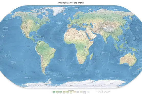
High Resolution World Map Outline 3D

