
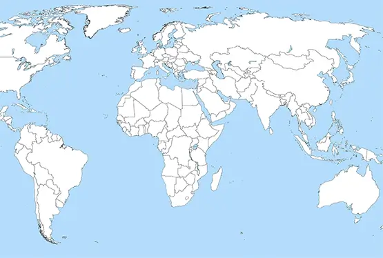
Blank World Map Outline
Awesome Blank World Map Outline

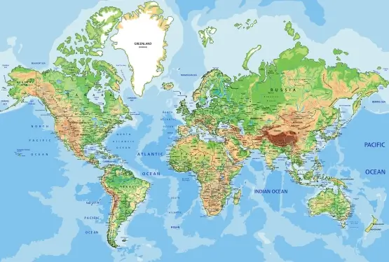
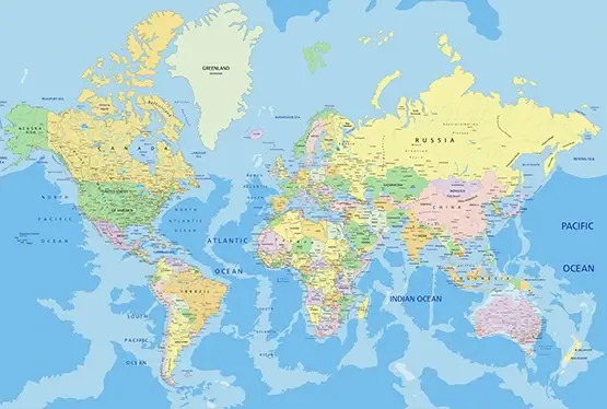
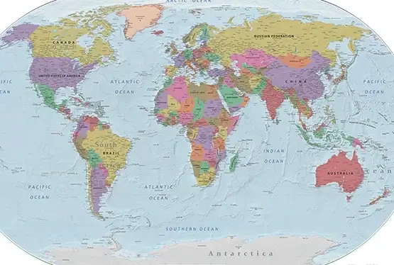
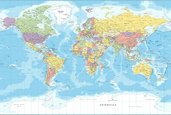
World Maps


GK NXT - Great Knowledge for Genius Kids
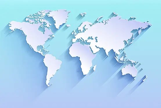
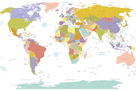
The Awesome Blank World Map Outline in Stunning Blue Color is a remarkable representation of the Earth's geography, offering a minimalist yet visually appealing canvas for learning, planning, and exploration. With its bold blue hues and clean design, this map strikes a balance between utility and aesthetics, making it an ideal tool for a wide range of applications. This article delves into the significance, features, and uses of this innovative cartographic design.
What is a Blank World Map Outline?
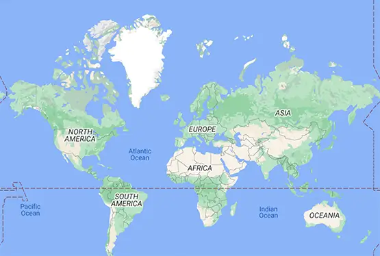
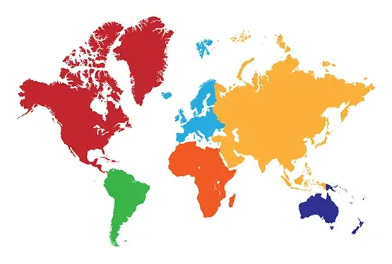
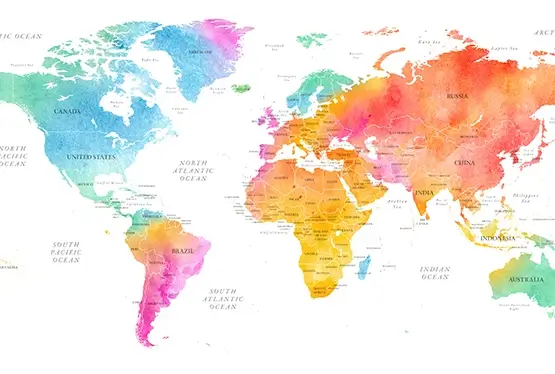
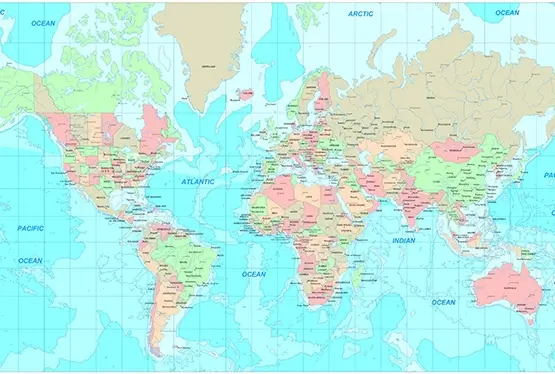
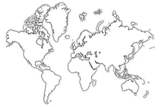
A blank world map outline is a simplified depiction of Earth’s geography, showing only the boundaries of continents, countries, and major bodies of water. Its primary purpose is to provide a neutral and customizable framework. Key characteristics include:
- Minimalist Design: Emphasizes boundaries without additional details like labels or topography.
- Blue Color Palette: Represents water and land in shades of blue, creating a serene visual effect.
- Versatility: Suitable for educational, professional, and artistic uses.
The Role of Colors in Map Design
The use of blue in cartography is not just aesthetically pleasing but also functional. Its significance includes:
- Clarity: Blue tones provide clear distinctions between land and water.
- Aesthetic Appeal: The calming effect of blue enhances the map’s visual appeal.
- Universality: Blue is universally associated with water, making the map intuitive to interpret.
Applications of a Blank Blue World Map
This map format is highly versatile and finds use in various domains:
- Education: Ideal for teaching geography, history, and geopolitics through interactive and creative methods.
- Planning: Used by travelers and professionals for route mapping and logistics.
- Art and Design: Serves as a backdrop for infographics, posters, and presentations.
- Personal Projects: Popular for DIY projects, such as marking visited countries or creating custom travel maps.
Technological Advancements in Map Design
The creation of blank world maps has evolved with advancements in technology:
- GIS Tools: Geographic Information Systems ensure accurate and scalable map designs.
- Digital Printing: High-quality printing techniques bring out vivid colors and fine details.
- Interactive Platforms: Online tools enable users to customize maps with colors, labels, and annotations.
Why Choose a Blue-Themed Map?
The choice of a blue theme goes beyond aesthetics. It symbolizes tranquility and clarity while enhancing the usability of the map. This design is particularly suited for educational and professional contexts where readability and elegance are paramount.
Conclusion
The Awesome Blank World Map Outline in Stunning Blue Color is a versatile and visually captivating tool that combines functionality with artistic elegance. Its minimalist design and calming color palette make it a valuable asset for educators, professionals, and enthusiasts alike. As technology continues to enhance cartographic design, maps like these will remain a cornerstone of geographic learning and creative expression.
FAQ
Q: What is a blank world map outline?
A: It is a simplified map showing only the boundaries of continents, countries, and major bodies of water, designed for versatile use.
Q: Why is the blue color used in this map?
A: Blue provides clear distinctions between land and water, offers aesthetic appeal, and evokes a sense of tranquility and clarity.
Q: How can I use a blank world map?
A: These maps are perfect for teaching geography, planning routes, creating artistic projects, or visualizing data with added annotations.
Q: Are customizable options available for these maps?
A: Yes, many online tools allow customization with colors, labels, and specific geographic data overlays.
Q: What technology is used to design these maps?
A: Advanced GIS tools, digital rendering software, and high-quality printing techniques are used to create precise and visually appealing maps.
Most Awesome Blank World Map Outline

