
High Resolution World Political Map
Awesome World Political Map

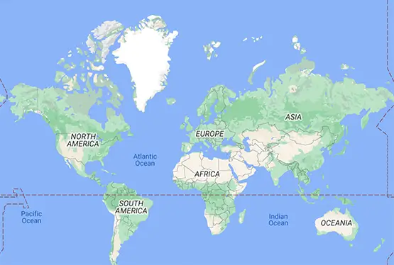
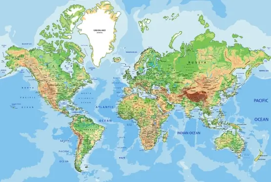
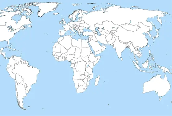
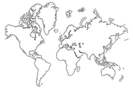
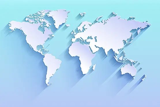
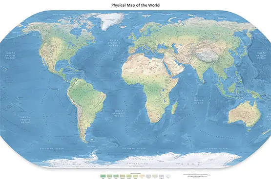
World Maps


GK NXT - Great Knowledge for Genius Kids
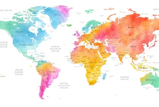
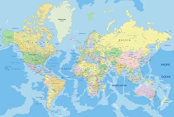
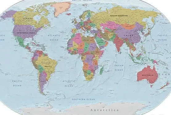
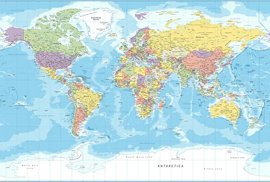
The Awesome Political Map of the World in Stunning Colors combines visual splendor with geographical precision, offering a comprehensive representation of global political boundaries. This map is not just a tool for navigation or education; it is a celebration of the world's diversity, displayed through vibrant and distinct colors. In this article, we delve into its features, historical evolution, applications, and the role it plays in global understanding.
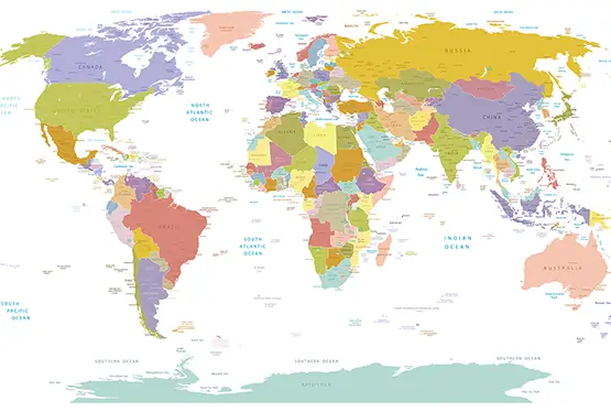
The Unique Features of a Colorful Political Map
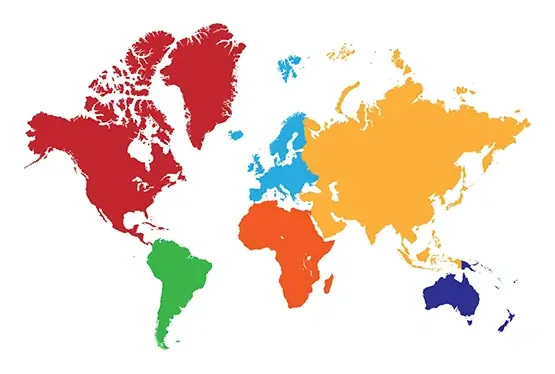
A political map focuses on human-made boundaries, highlighting the sovereignty and administrative divisions of countries. Its stunning color palette offers:
- Distinct Borders: Clear demarcation of countries, states, and provinces.
- Vibrant Colors: Unique hues for each country or region to enhance differentiation and visual appeal.
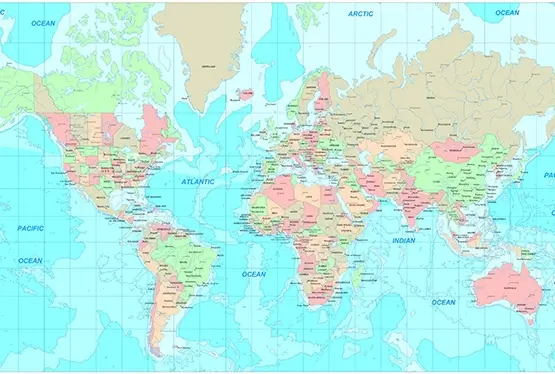
- Detailed Annotations: Labels for capitals, major cities, and key geographical points.
- Interactive Potential: Digital versions enable zooming, searching, and layering additional data.
Historical Evolution of Political Maps
Political maps have evolved alongside human civilization, reflecting changes in governance, technology, and design. Key milestones include:
- Ancient Beginnings: Early maps from Mesopotamia and Rome depicted territorial boundaries in rudimentary forms.
- Age of Exploration: Maps during the 15th-17th centuries charted new territories and colonies, shaping modern political boundaries.
- Colonial Influence: Maps of the 18th and 19th centuries reflected the geopolitical shifts caused by colonialism and imperialism.
- Modern Innovations: Satellite imagery and Geographic Information Systems (GIS) have revolutionized accuracy and detail in political mapping.
The Role of Color in Political Maps
Colors are crucial for enhancing the functionality and aesthetics of political maps:
- Clarity: Contrasting colors make it easier to distinguish between regions.
- Aesthetic Appeal: Bright and harmonious palettes increase engagement, especially for educational purposes.
- Functional Significance: Colors can indicate data such as population density or economic zones.
Applications of Stunning Political Maps
These maps are invaluable tools in various fields:
- Education: Help students understand geography, history, and political science.
- Diplomacy: Used in international relations to discuss boundaries and agreements.
- Travel: Aid travelers in understanding regional divisions and planning routes.
- Business: Assist corporations in market analysis and logistics planning.
Challenges and Future Prospects
While political maps are indispensable, they face challenges such as:
- Disputed Borders: Areas like Kashmir or the South China Sea pose dilemmas in representation.
- Dynamic Changes: Political boundaries can shift due to conflicts or treaties.
- Digital Accessibility: Ensuring high-resolution maps are available to all regions remains a goal.
The future of political maps lies in augmented reality (AR) and virtual reality (VR), where users can immerse themselves in a detailed global landscape, making geography both interactive and engaging.
Conclusion
The Awesome Political Map of the World in Stunning Colors is a masterpiece of design and utility. It provides a lens through which we can view and understand the complexities of global boundaries and relationships. Whether in classrooms, boardrooms, or living rooms, these maps are a testament to the importance of geography in our interconnected world.
FAQ
Q: What is a political map?
A: A political map highlights human-made boundaries, including countries, states, and cities, with annotations for major locations.
Q: Why are colors important in political maps?
A: Colors make it easier to differentiate regions, enhance visual appeal, and provide functionality like indicating population or economic zones.
Q: How are these maps used in education?
A: They help students understand geography, global boundaries, and international relationships through clear visual distinctions.
Q: Can I access interactive political maps online?
A: Yes, many platforms offer digital political maps with interactive features like zooming, searching, and data overlays.
Q: What challenges do political maps face?
A: Challenges include representing disputed borders, adapting to political changes, and ensuring accessibility to high-resolution digital maps.
Most Awesome World Political Map

