
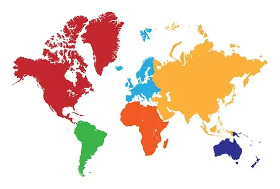
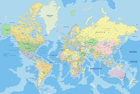
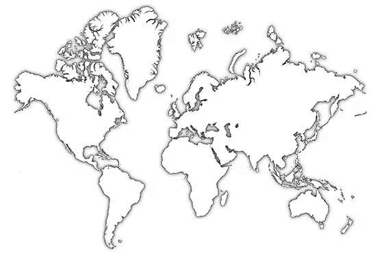
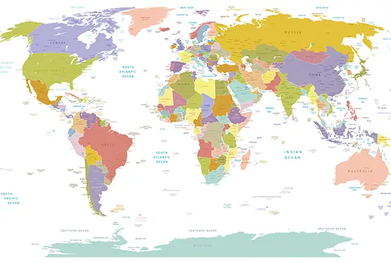
World Map with Countries
High Resolution World Map with Countries

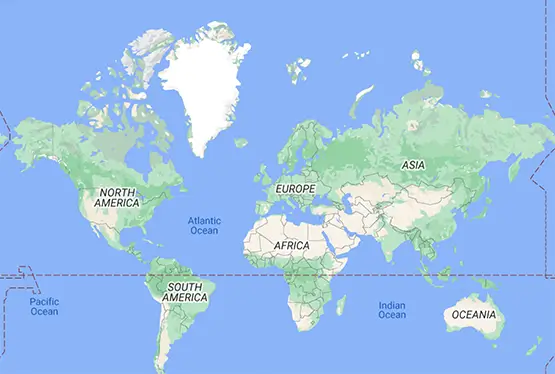
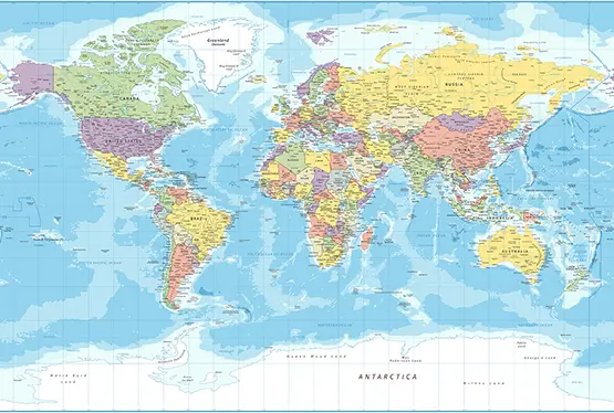
World Maps


GK NXT - Great Knowledge for Genius Kids
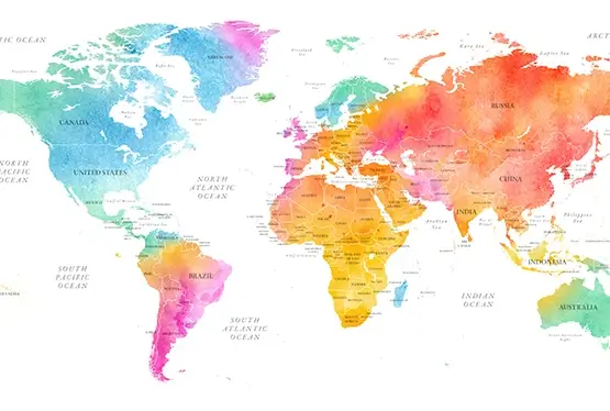
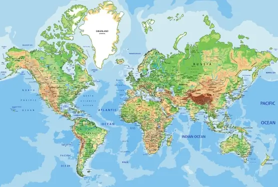
World Map with Countries in Beautiful Watercolors
A world map rendered in watercolors is not merely a tool for navigation but a breathtaking work of art. The gentle blending of colors, combined with precise cartographic detail, transforms the map into a visual celebration of Earth’s diversity. From vibrant tones representing cultural richness to subdued shades reflecting natural landscapes, watercolor maps provide an immersive way to explore countries and their geographical relationships. This article delves into the artistry and utility of watercolor world maps, exploring their historical roots, modern applications, and global appeal.
The History of Watercolor Cartography
Watercolors have a long history in mapmaking, dating back to the early modern period when hand-painted maps were symbols of power and exploration. Renaissance cartographers, such as Abraham Ortelius and Gerardus Mercator, often used watercolor washes to highlight borders, mountain ranges, and seas. These maps were not only practical tools but also decorative pieces adorning the walls of royal courts and merchant halls.
By the 19th century, watercolor techniques became more refined, allowing for detailed shading and gradients that made maps both aesthetically pleasing and highly informative. Today, watercolor-style maps are experiencing a resurgence, blending traditional artistry with modern digital techniques to create captivating visuals.
Artistic Elements of Watercolor Maps
The beauty of watercolor maps lies in their ability to evoke emotion and curiosity. Key artistic elements include:
- Color Gradients: Smooth transitions between hues create a sense of depth and texture, emphasizing natural features like mountain ranges and rivers.
- Transparency: The translucent nature of watercolors allows for layering, making political borders and geographical features more harmonious.
- Handcrafted Aesthetic: Even when digitally produced, watercolor maps retain a handmade feel that connects viewers to the tradition of artisanal cartography.
Balancing Art and Geographical Accuracy
While watercolor maps are celebrated for their artistic appeal, they are also highly functional. Advanced GIS (Geographic Information Systems) and cartographic software ensure that even the most stylized watercolor maps maintain geographic precision. For instance, boundaries between countries and territories are carefully delineated, while natural features like rivers and mountain ranges are accurately plotted.
Examples include modern maps that overlay watercolor textures on satellite imagery to provide an engaging yet informative representation of Earth’s surface.
Applications of Watercolor World Maps
Watercolor maps are versatile and find applications across various domains:
- Education: These maps are excellent tools for teaching geography, as their visual appeal makes learning engaging and memorable.
- Interior Design: Framed watercolor maps serve as elegant decor pieces, adding a touch of sophistication to homes and offices.
- Travel: Custom watercolor maps highlighting specific destinations are popular among travelers and tourism boards.
- Environmental Awareness: Maps showcasing biodiversity hotspots or climate change impacts often use watercolor styles to evoke emotional connection.
Modern Techniques in Watercolor Map Production
Advances in technology have revolutionized the creation of watercolor maps. Digital tools like Adobe Illustrator and Procreate allow artists to simulate watercolor effects with remarkable precision. Furthermore, GIS platforms integrate real-world data with artistic overlays, ensuring maps are both accurate and visually stunning.
For example, platforms like Mapbox and Carto enable the customization of map styles, including watercolor themes, for use in interactive applications.
Cultural and Aesthetic Significance
Watercolor maps transcend their practical use, becoming cultural artifacts that reflect artistic traditions and worldviews. The interplay of colors can evoke a sense of belonging, nostalgia, or wonder, making these maps universally appealing. They remind us of the beauty of diversity—both in nature and human culture.
Conclusion
The world map with countries in beautiful watercolors is a perfect fusion of art and science. It captures the complexity of our planet while celebrating its aesthetic and cultural richness. Whether used for education, decoration, or exploration, these maps continue to inspire curiosity and admiration, proving that geography is not just a subject to study but a story to be experienced.
FAQ
What makes watercolor maps unique?
Watercolor maps stand out due to their artistic appeal, blending vibrant colors and smooth gradients to represent geographical features while maintaining cartographic accuracy.
Are watercolor maps accurate?
Yes, modern watercolor maps combine artistry with advanced GIS technology, ensuring that country boundaries, natural features, and other details are accurate.
Where can watercolor maps be used?
Watercolor maps are versatile and used in education, interior design, travel, and environmental awareness campaigns, among other applications.
How are watercolor maps created today?
Modern watercolor maps are created using digital tools like Adobe Illustrator, Procreate, and GIS platforms, which replicate the traditional watercolor style with precision and flexibility.
Can I get custom watercolor maps?
Yes, many artists and cartographic services offer custom watercolor maps tailored to specific locations, themes, or design preferences.
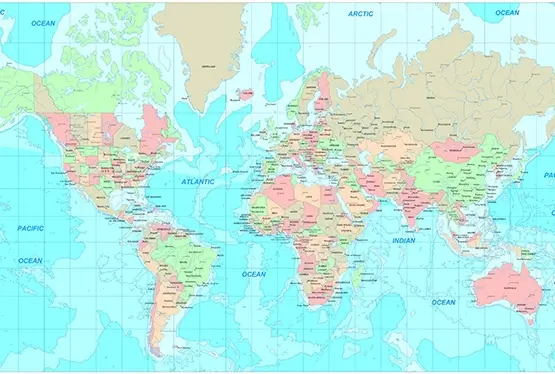
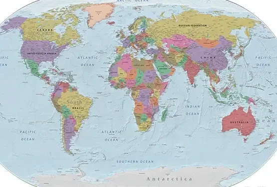
Ultra High Resolution World Map with Countries

