
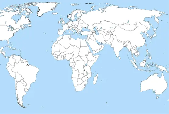
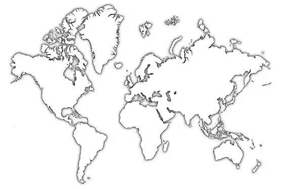
World Outline Map
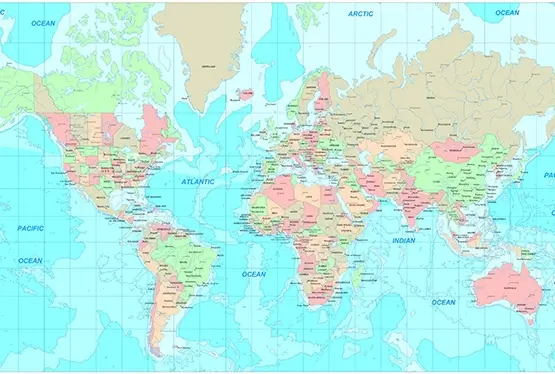
High Resolution World Outline Map

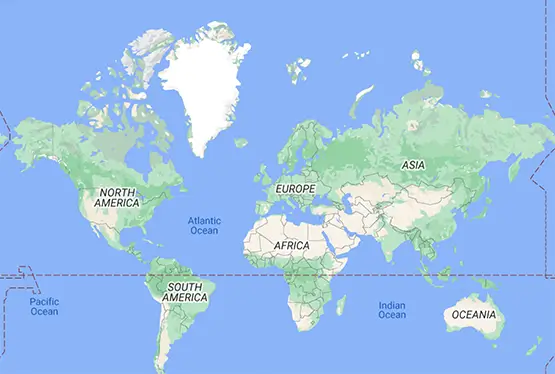
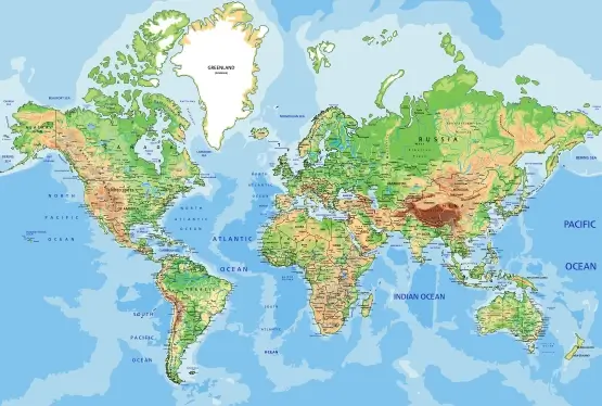
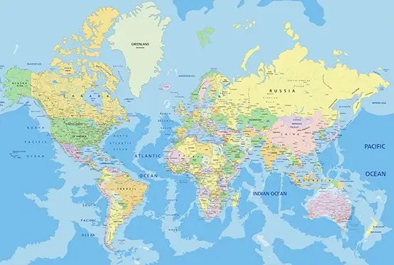
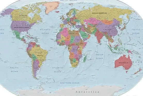
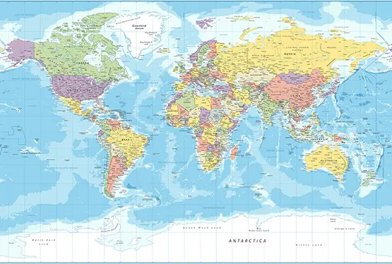
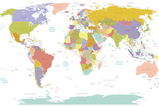
World Maps


GK NXT - Great Knowledge for Genius Kids
The World Outline Map in 3D is a revolutionary concept that transforms the traditional two-dimensional cartographic representation into a dynamic and interactive experience. This innovation enables viewers to explore geography with a depth and perspective that enhances understanding, making it an indispensable tool for education, research, and even leisure.
What is a 3D World Outline Map?
A 3D world outline map is a digital or physical representation of Earth where the surface features, including landforms, political boundaries, and geographic elements, are presented in three dimensions. Unlike flat maps, these maps:
- Depict elevation changes, giving a realistic view of mountains, valleys, and plateaus.
- Provide perspective on the curvature of the Earth.
- Enable rotation and zooming for a comprehensive spatial understanding.
The Evolution of Cartography
The journey from ancient maps to 3D representations is a testament to human curiosity and technological progress. Early maps, like the Babylonian clay tablets (~2300 BCE), were rudimentary, focusing on local terrains. Over centuries, advances such as the use of the Mercator projection (1569) and satellite imagery revolutionized mapmaking.
The advent of Geographic Information Systems (GIS) in the 20th century laid the groundwork for creating 3D maps. Today, tools like Google Earth and NASA's World Wind showcase the possibilities of 3D mapping.
Applications of 3D World Maps
The applications of 3D world maps span various domains:
- Education: Geography lessons become immersive, helping students grasp complex topographical and geopolitical concepts.
- Urban Planning: Architects and planners use 3D maps to visualize infrastructure projects in context.
- Environmental Studies: These maps assist in studying climate change effects, deforestation, and habitat loss.
- Travel and Tourism: Travelers can explore destinations virtually, enhancing trip planning.
Advantages of 3D Mapping
3D world maps offer several advantages over traditional maps:
- Enhanced visual clarity for complex terrains.
- Interactive features that allow user engagement.
- Better spatial awareness and perspective.
- Increased accessibility through digital platforms.
Technological Foundations
The creation of 3D maps relies on cutting-edge technologies:
- Remote Sensing: Satellites and drones capture high-resolution imagery.
- LiDAR Technology: Laser scanning provides precise elevation data.
- 3D Rendering Software: Programs like Blender and ArcGIS generate realistic visuals.
Challenges and Future Prospects
Despite their benefits, 3D world maps face challenges:
- Data Accuracy: Ensuring up-to-date and precise information requires significant resources.
- Technical Barriers: High-performance hardware is needed for rendering and visualization.
- Accessibility: Bridging the digital divide to make 3D maps available globally is crucial.
Looking ahead, advancements in artificial intelligence, virtual reality, and data integration promise to further enhance the utility and appeal of 3D world maps.
Conclusion
The World Outline Map in 3D represents a significant leap in cartography, offering a rich and engaging way to explore our planet. From classrooms to research labs and travel guides, these maps bridge the gap between data and discovery, making the study of Earth more accessible and exciting than ever before.
FAQ
Q: What makes a 3D world outline map different from a traditional map?
A: Unlike traditional maps, 3D maps offer depth, elevation, and interactivity, providing a more realistic representation of Earth's features.
Q: What technologies are used to create 3D maps?
A: Technologies such as GIS, LiDAR, satellite imagery, and 3D rendering software are crucial for developing 3D maps.
Q: How are 3D maps useful in education?
A: They help students visualize geographical concepts, understand topography, and explore environmental and geopolitical topics interactively.
Q: Can I access 3D maps online?
A: Yes, platforms like Google Earth and other GIS-based tools offer interactive 3D mapping features.
Q: What are the challenges of using 3D maps?
A: Challenges include data accuracy, high technical requirements, and accessibility issues in regions with limited digital infrastructure.
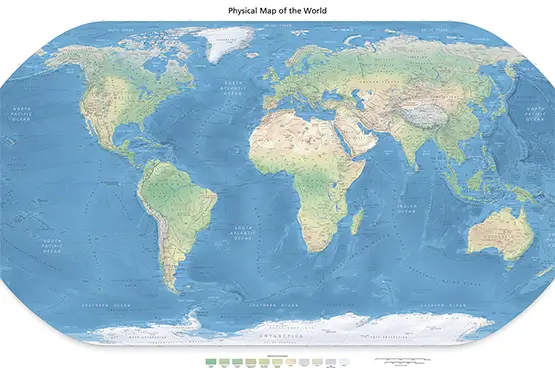
Ultra High Resolution World Outline Map

