
Awesome World Map Outline
Awesome World Map Outline

World Maps


GK NXT - Great Knowledge for Genius Kids
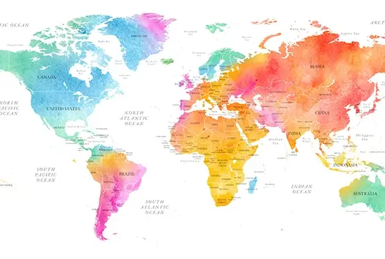
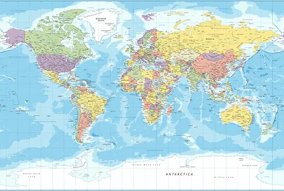
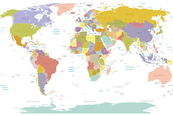
The Awesome World Map Outline in Stunning Colors is a perfect fusion of art and geography, transforming the traditional map outline into an engaging and visually striking masterpiece. Designed to captivate and educate, this map is an invaluable resource for a wide range of applications, from academic purposes to interior decor. In this article, we explore the features, significance, and applications of this innovative map design.
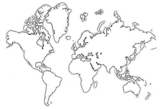
What is a World Map Outline?
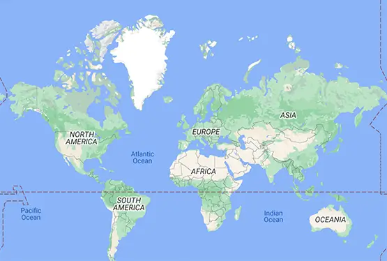
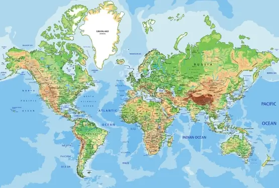
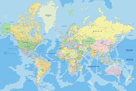
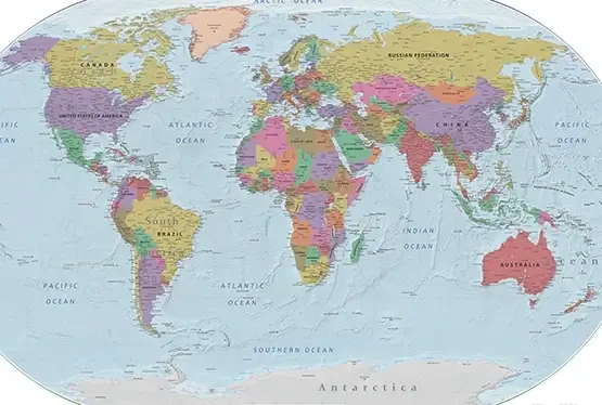
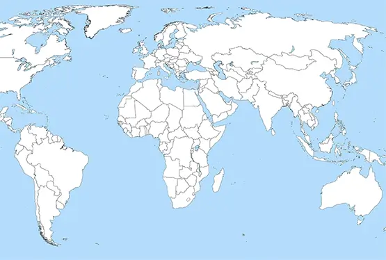
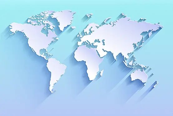
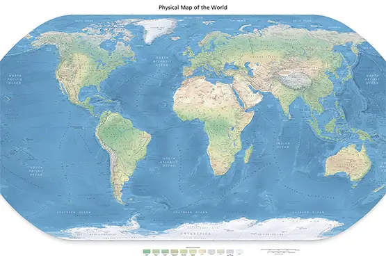
A world map outline is a simplified representation of Earth's geography, focusing on the boundaries of continents, countries, and oceans. When rendered in stunning colors, it adds a layer of visual appeal and functionality. Key characteristics include:
- Simplified Design: Minimalistic lines that define boundaries without detailed topographical data.
- Vibrant Colors: Each region is highlighted with unique hues for easy distinction and aesthetic appeal.
- Versatility: Suitable for both educational and decorative purposes.
The History of Map Outlines
The concept of map outlines dates back to early cartography when maps were hand-drawn to represent territories and trade routes. Significant milestones include:
- Ancient Beginnings: Maps from ancient Greece and Rome primarily focused on coastlines and major landforms.
- Medieval Maps: Outlines became more detailed during the Middle Ages, incorporating religious and cultural elements.
- Modern Cartography: The 19th and 20th centuries introduced precise outlines based on advanced surveying techniques.
- Digital Transformation: Today’s digital tools enable the creation of high-resolution, customizable map outlines.
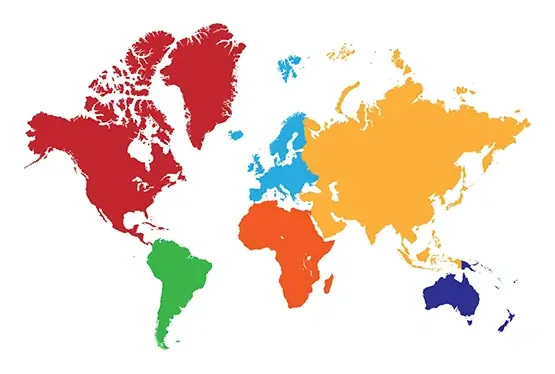
The Role of Colors in Map Design
Colors enhance the functionality and visual appeal of map outlines. Their significance includes:
- Clarity: Distinct colors make it easier to differentiate regions and continents.
- Aesthetic Value: Harmonious color schemes transform maps into decorative art pieces.
- Interactive Learning: Color-coded regions aid in better retention of geographical information.
Applications of Stunning Map Outlines
A colorful world map outline has diverse applications:
- Education: Helps students learn geography through an engaging and interactive visual medium.
- Corporate Use: Ideal for presentations, showcasing global operations or market territories.
- Interior Design: Serves as a stylish wall decor item in homes, offices, or classrooms.
- Travel Planning: Assists travelers in visualizing their routes and destinations.
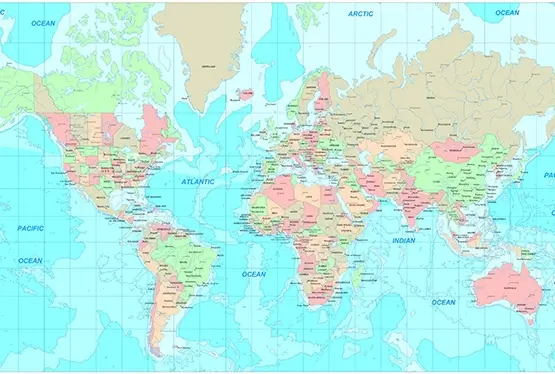
Technological Innovations in Map Design
Recent advancements have revolutionized the way map outlines are created and used:
- GIS Technology: Geographic Information Systems allow for accurate and interactive mapping.
- 3D Rendering: Adds depth and perspective to traditional map outlines.
- Customizable Tools: Online platforms enable users to personalize maps with preferred colors and labels.
Conclusion
The Awesome World Map Outline in Stunning Colors is a versatile and visually captivating tool that bridges the gap between functionality and aesthetics. Whether for education, corporate use, or personal enjoyment, these maps serve as a reminder of the beauty and complexity of our world. As technology continues to advance, the potential for even more engaging and interactive map designs is boundless.
FAQ
Q: What is a world map outline?
A: A world map outline is a simplified representation of Earth's geography, focusing on boundaries and continents without detailed topographical data.
Q: Why are colors important in map outlines?
A: Colors enhance clarity, making it easier to differentiate regions and continents, while also adding aesthetic value.
Q: How are these maps used in education?
A: These maps are valuable for teaching geography, helping students visually identify and learn about continents, countries, and oceans.
Q: Can I customize these maps?
A: Yes, many online tools allow users to personalize map outlines with their preferred colors, labels, and styles.
Q: What technology is used to create these maps?
A: Advanced technologies like GIS software and 3D rendering tools are used to create accurate and visually appealing map outlines.
Most Awesome World Map Outline

