
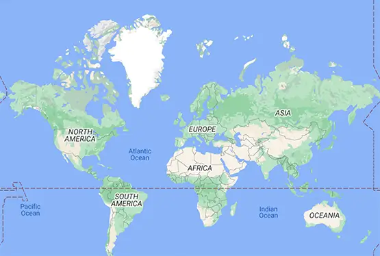
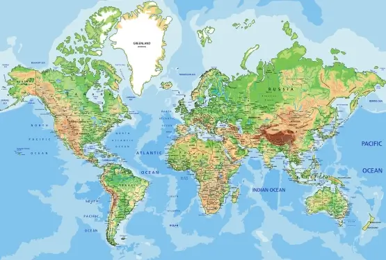
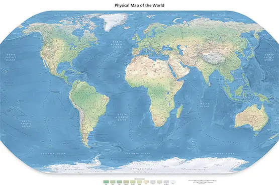
Physical map of the world
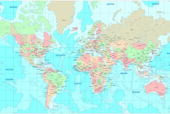
High Resolution Physical map of the world

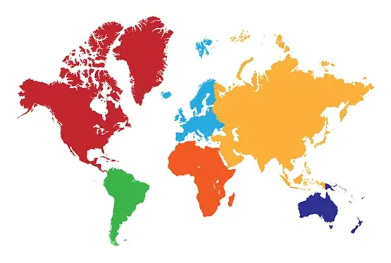
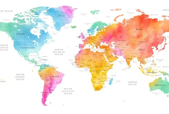
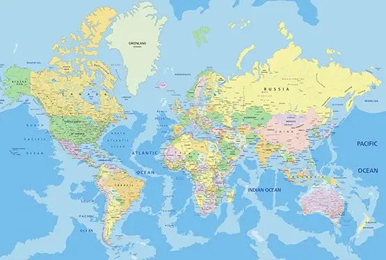
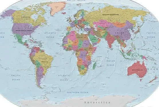
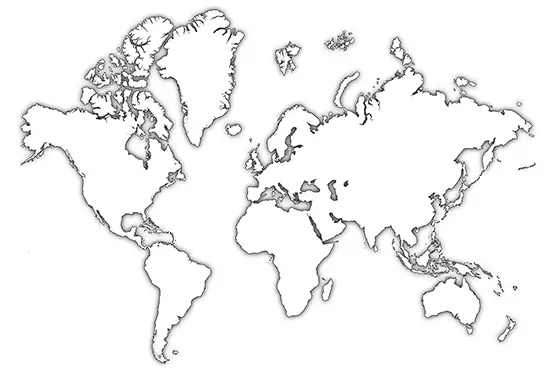
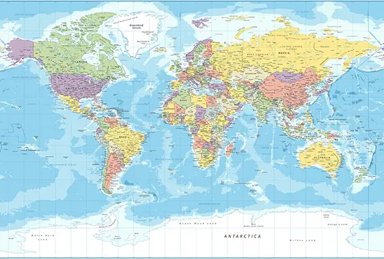
World Maps


GK NXT - Great Knowledge for Genius Kids
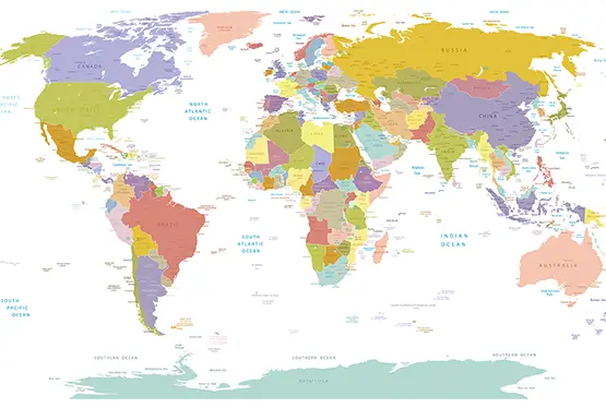
A world physical map, with its vibrant palette, is a tapestry that narrates the story of Earth’s diverse terrains. From the towering peaks of the Himalayas to the vast abyss of the Mariana Trench, these maps capture the splendor of our planet’s topography. Not merely a tool for navigation, physical maps are gateways to understanding geological wonders, environmental changes, and the interconnectedness of ecosystems.
The colors on a physical map are not arbitrary; they serve as a coded language that reveals the essence of Earth's landscapes. Blue shades indicate water depths, green highlights plains, brown shows elevations, and white represents snow or ice-covered regions. These distinctions allow us to visualize the undulating contours of valleys, the expanse of deserts, and the lushness of forests.
Physical maps are more than geographical tools—they are invaluable educational resources. They help students and researchers grasp spatial relationships and understand geological phenomena such as tectonic activity or river systems. For instance, observing the Andes Mountains alongside the Amazon Basin on a map reveals how mountain ranges influence river flow and ecosystem diversity.
The art and science of map-making have evolved over millennia. Ancient cartographers like the Babylonians used clay tablets to depict local terrains. During the Renaissance, map-making became an intricate craft, with pioneers like Gerardus Mercator creating projections that balanced accuracy and aesthetics. Today, satellite imagery and Geographic Information Systems (GIS) provide unprecedented detail and interactivity, making maps more informative than ever.
Beyond classrooms, physical maps are indispensable in fields like urban planning, disaster management, and environmental conservation. Urban planners use them to identify suitable sites for development while minimizing ecological disruption. Disaster response teams rely on topographical data to assess flood-prone areas or volcanic hazards. Conservationists use maps to track deforestation and protect biodiversity hotspots.
As technology advances, physical maps are transforming into interactive and immersive experiences. Virtual Reality (VR) allows users to explore terrains in three dimensions, while Augmented Reality (AR) integrates map data with real-world views. These innovations not only enhance navigation but also foster a deeper appreciation of Earth's landscapes.
FAQ
Q: What is a physical map?
A: A physical map represents the Earth's surface features like mountains, valleys, plains, rivers, and oceans using colors, contour lines, and shading to depict elevation and depth.
Q: How are colors used in a physical map?
A: Colors on physical maps have specific meanings: blue for water bodies, green for lowlands, brown for mountains, yellow or beige for deserts, and white for snow or ice-covered areas.
Q: Why are physical maps important in education?
A: Physical maps help students and researchers understand geographical features, natural processes, and the spatial relationships between different regions.
Q: What technological advancements have enhanced physical maps?
A: Innovations like Geographic Information Systems (GIS), satellite imagery, Virtual Reality (VR), and Augmented Reality (AR) have made physical maps more detailed, interactive, and immersive.
Q: How can physical maps be used in disaster management?
A: Physical maps identify high-risk areas for natural disasters like floods, earthquakes, and volcanic eruptions, aiding emergency response and planning.
Ultra High Resolution Physical map of the world

