
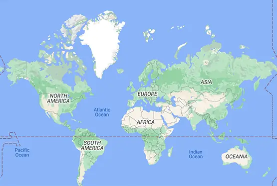
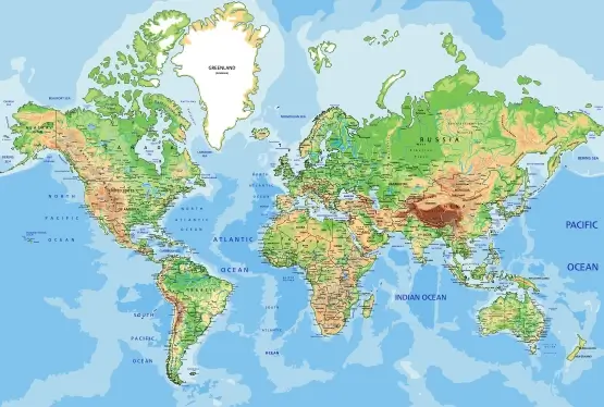
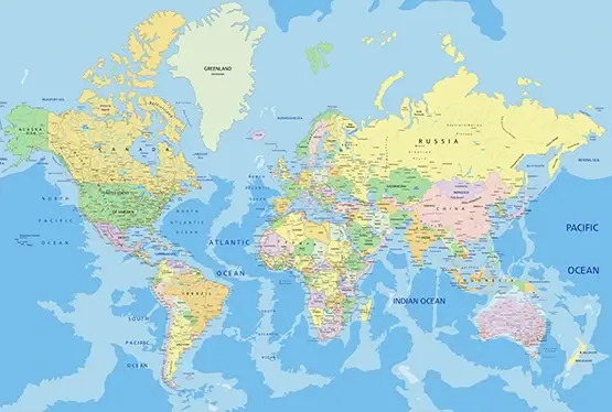
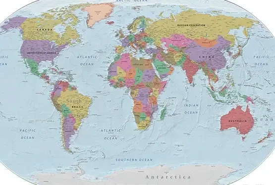
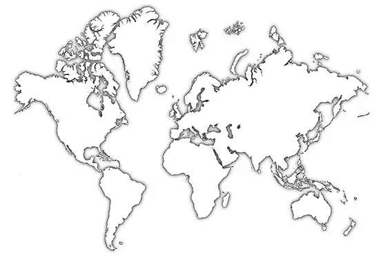
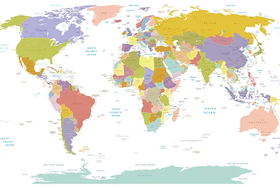
World Political Map
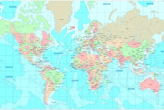
High Resolution World Political Map

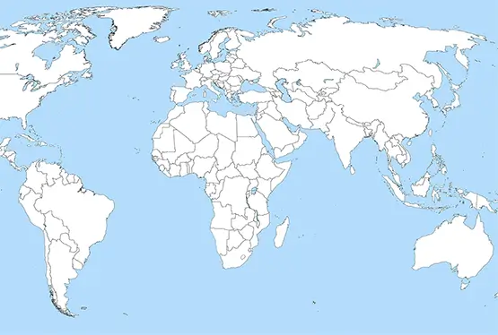
World Maps


GK NXT - Great Knowledge for Genius Kids
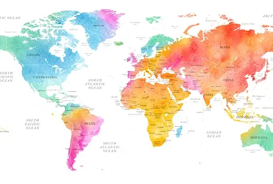
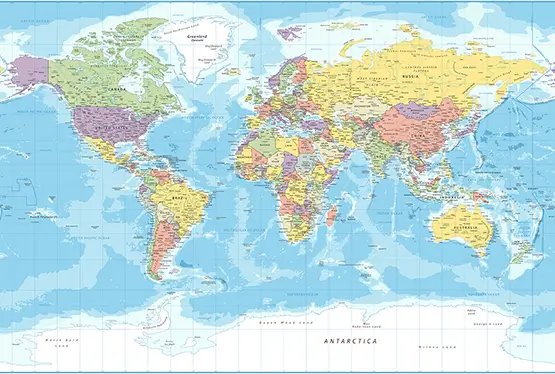
World Political Map in Beautiful Colors
A world political map in beautiful colors is more than a tool for navigation or geopolitics; it is a vibrant tapestry representing the diversity of nations, cultures, and borders that define our planet. With every hue and boundary, these maps offer insights into human history, cultural identity, and the intricate dynamics of international relations. This article explores the historical evolution, geographical precision, and artistic appeal of world political maps, shedding light on their significance in education, governance, and global awareness.
The Historical Evolution of Political Maps
The concept of political maps dates back to ancient civilizations. Early cartographers, such as those in Mesopotamia and Egypt, etched territorial divisions on clay tablets to delineate administrative regions and resource control. During the Age of Exploration in the 15th and 16th centuries, maps became indispensable for colonial expansion, trade, and diplomacy.
Gerardus Mercator’s 1569 map was a groundbreaking innovation, introducing a projection system that preserved angles for navigation. Although it distorted the size of landmasses, particularly near the poles, it laid the foundation for modern political maps. Over the centuries, advancements in cartography, such as satellite imagery and GIS (Geographic Information Systems), have enhanced the accuracy and aesthetic quality of these maps.
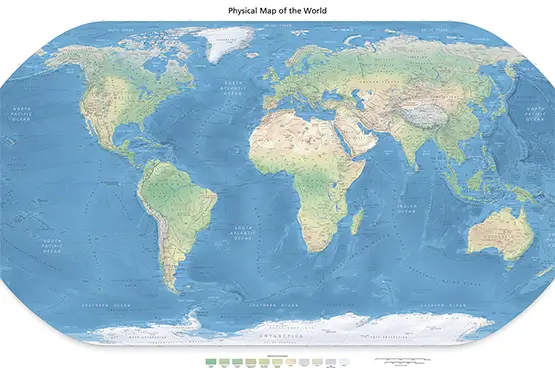
Balancing Geographical Accuracy and Design
The creation of a world political map is a delicate balance between geographical precision and artistic design. Contemporary maps employ projections like Winkel Tripel and Robinson, which reduce distortion while maintaining a visually pleasing appearance. These projections are widely used by educational institutions and international organizations, such as the United Nations.
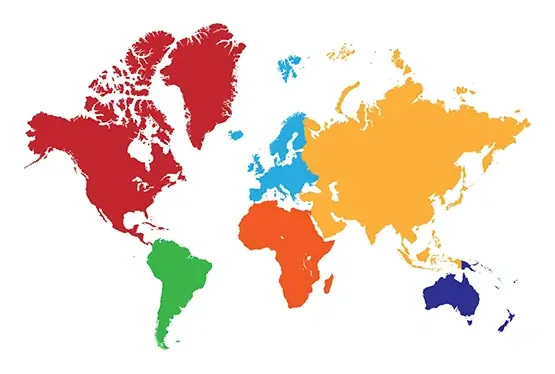
Color schemes play a crucial role in the effectiveness of political maps. Contrasting colors help distinguish neighboring countries, while pastel tones soften the overall aesthetic. Modern digital tools allow cartographers to experiment with gradients and textures, resulting in maps that are both functional and visually captivating.
Political Significance of World Maps
World political maps are indispensable tools for understanding the geopolitical landscape. They provide a visual representation of country boundaries, capitals, and disputed territories, offering insights into diplomatic relations and conflicts. For instance, the depiction of borders in regions like Kashmir or the South China Sea often reflects varying national perspectives.
These maps are also vital in governance and policy-making, aiding in resource allocation, infrastructure planning, and disaster management. Furthermore, they foster global awareness by highlighting cultural and linguistic diversity, promoting a deeper appreciation of our shared humanity.
Applications and Utility of Political Maps
The utility of world political maps extends beyond classrooms and government offices. They are crucial in industries such as travel, logistics, and international trade. Travel agencies use these maps to design itineraries, while logistics companies rely on them for efficient route planning.
In the digital age, interactive political maps have transformed user engagement. Platforms like Google Maps and Mapbox offer real-time data integration, enabling users to explore geopolitical changes, demographic trends, and socio-economic patterns with ease.
Artistic and Cultural Value
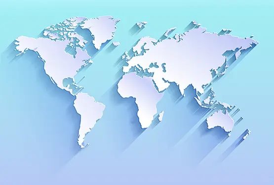
Beyond their functional aspects, political maps are celebrated as works of art. The use of vibrant colors and intricate details transforms them into decorative pieces for homes, offices, and galleries. Historical maps, in particular, are prized collectibles, offering a glimpse into the cartographic and political ideologies of their time.
Maps also serve as cultural artifacts, reflecting the identities and aspirations of nations. For example, the choice of colors and symbols on maps often conveys a sense of pride and unity, reinforcing national narratives.
Conclusion
The world political map in beautiful colors is a testament to the intersection of geography, art, and politics. It encapsulates the complexities of our global community, offering a window into the past and a tool for navigating the future. Whether used for education, governance, or decoration, these maps inspire curiosity and foster a deeper connection to the world we share.
FAQ
What is a world political map?
A world political map displays the boundaries, capitals, and territories of countries, offering insights into geopolitical relationships and the global landscape.
Why are world political maps colorful?
Color is used to distinguish neighboring countries, making it easier to identify boundaries and regions. It also enhances visual appeal and clarity for users.
How are modern political maps created?
Modern political maps use GIS (Geographic Information Systems), satellite imagery, and digital tools to ensure accuracy while incorporating artistic designs for better aesthetics.
What are the uses of political maps?
Political maps are used in education, governance, travel planning, logistics, and international relations. They also serve as decorative pieces and cultural artifacts.
Where can I find interactive political maps?
Interactive political maps are available on platforms like Google Maps, Mapbox, and government or educational websites that offer real-time updates and detailed data.
Ultra High Resolution World Political Map

